Area Overview for CO8 5JP
Photos of CO8 5JP
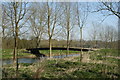
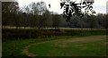
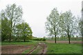
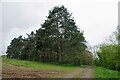
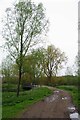
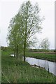
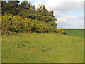
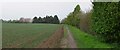
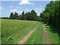
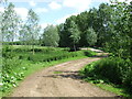
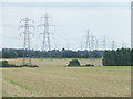
11 photos from this area
Area Information
Key information about the CO8 5JP including its size, population, and administrative classification.
- Area Type
- Postcode
- Area Size
- 91.0 hectares
- Population
- 1876
- Population Density
- 70 people/km²
House Prices in CO8 5JP
9
Properties
£556,392
Average Sold Price
£316,962
Lowest Price
£780,000
Highest Price
Showing 9 properties
| Address | Type | Beds | Baths | Last Sale Price | Last Sale Date | |
|---|---|---|---|---|---|---|
| High Pale Barn, Sudbury Road, Bures St Mary, CO8 5JP | house | - | - | £475,000 | Dec 2024 | |
| Kingsmoor, Sudbury Road, Bures St Mary, CO8 5JP | house | - | - | £520,000 | Feb 2019 | |
| Cranbrook, Sudbury Road, Bures St Mary, CO8 5JP | Detached | 7 | 5 | £690,000 | Aug 2017 | |
| High Pale Farm, Sudbury Road, Bures St Mary, CO8 5JP | Detached | 5 | 4 | £780,000 | Jun 2017 | |
| Burnetts, Sudbury Road, Bures St Mary, CO8 5JP | Detached | - | - | £316,962 | Apr 2013 | |
| Corn Hall, Sudbury Road, Bures St Mary, CO8 5JP | Detached | 5 | - | - | - | |
| High Pale, Sudbury Road, Bures St Mary, CO8 5JP | house | - | - | - | - | |
| Tennis 99M From Corn Hall, Sudbury Road 11M From Unnamed Road, Access Road From B 1058 To Corn Hall, Bures St Mary, CO8 5JP | Leisure | - | - | - | - | |
| Cornhall Cottage, Sudbury Road, Bures St Mary, CO8 5JP | house | - | - | - | - |
Energy Efficiency in CO8 5JP
Amenities
Schools
| Rank | School | Type | Entry gender | Ages |
|---|
Explore more schools in this area
Go to Schools tabDemographics
Household Size
Two person
most common
Accommodation Type
Houses
most common
Tenure
73
majority
Ethnic Group
White
most common
Religion
N/A
most common
Household Composition
N/A
most common
Age
47
median
Adults (30-64 years)
most common
Household Deprivation
N/A
with no deprivation
NS-SEC
39
in Lower managerial occupations
Explore more demographic insights in this area
Go to Demographics tabPlanning
Planning Constraints
- Flood RiskPremium
- Ramsar Wetland SitesPremium
- Area of Outstanding Natural BeautyPremium
- Protected Nature ReservePremium
- Protected WoodlandPremium