Area Overview for CO7 9PN
Photos of CO7 9PN

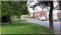
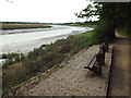
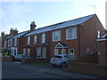
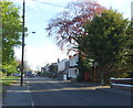
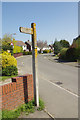
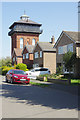
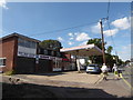
59 photos from this area
Area Information
Key information about the CO7 9PN including its size, population, and administrative classification.
- Area Type
- Postcode
- Area Size
- 9644 m²
- Population
- Not available
- Population Density
- Not available
House Prices in CO7 9PN
14
Properties
£381,417
Average Sold Price
£72,000
Lowest Price
£625,000
Highest Price
Showing 14 properties
| Address | Type | Beds | Baths | Last Sale Price | Last Sale Date | |
|---|---|---|---|---|---|---|
| 74 The Avenue, Wivenhoe, CO7 9PN | Detached | 4 | 1 | £580,000 | Aug 2025 | |
| 72 The Avenue, Wivenhoe, CO7 9PN | house | 4 | 2 | £625,000 | Oct 2015 | |
| 33 The Avenue, Wivenhoe, CO7 9PN | house | - | - | £415,000 | Sep 2015 | |
| 76 The Avenue, Wivenhoe, CO7 9PN | house | 4 | - | £226,500 | Feb 2014 | |
| 80 The Avenue, Wivenhoe, CO7 9PN | Detached | 5 | - | £370,000 | Jun 2005 | |
| Beechcroft, 41 The Avenue, Wivenhoe, CO7 9PN | Detached | - | - | £72,000 | Mar 1995 | |
| 33B The Avenue, Wivenhoe, CO7 9PN | Semi-detached | 2 | 2 | - | - | |
| Mobile Home, Beechcroft, 41 The Avenue, Wivenhoe, CO7 9PN | Mobile Home | - | - | - | - | |
| 39 The Avenue, Wivenhoe, CO7 9PN | Detached | - | - | - | - | |
| 37 The Avenue, Wivenhoe, CO7 9PN | Semi-detached | - | - | - | - |
Page 1 of 2
Energy Efficiency in CO7 9PN
Amenities
Schools
| Rank | School | Type | Entry gender | Ages |
|---|
Explore more schools in this area
Go to Schools tabDemographics
Household Size
Two person
most common
Accommodation Type
Houses
most common
Tenure
74
majority
Ethnic Group
White
most common
Religion
N/A
most common
Household Composition
N/A
most common
Age
47
median
Adults (30-64 years)
most common
Household Deprivation
N/A
with no deprivation
NS-SEC
37
in Lower managerial occupations
Explore more demographic insights in this area
Go to Demographics tabPlanning
Planning Constraints
- Flood RiskPremium
- Ramsar Wetland SitesPremium
- Area of Outstanding Natural BeautyPremium
- Protected Nature ReservePremium
- Protected WoodlandPremium