Area Overview for CO7 9HD
Photos of CO7 9HD
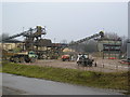
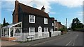
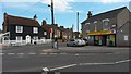
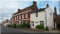
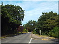
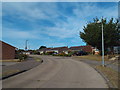
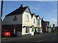
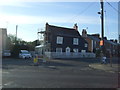
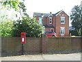
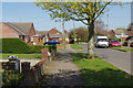
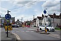
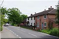
23 photos from this area
Area Information
Key information about the CO7 9HD including its size, population, and administrative classification.
- Area Type
- Postcode
- Area Size
- 1.3 hectares
- Population
- 1152
- Population Density
- 1143 people/km²
House Prices in CO7 9HD
32
Properties
£227,432
Average Sold Price
£56,000
Lowest Price
£460,000
Highest Price
Showing 32 properties
| Address | Type | Beds | Baths | Last Sale Price | Last Sale Date | |
|---|---|---|---|---|---|---|
| 13 Lammas Way, Wivenhoe, CO7 9HD | Semi-detached | 3 | - | £315,000 | Oct 2025 | |
| 12 Lammas Way, Wivenhoe, CO7 9HD | Bungalow | 2 | 1 | £285,000 | Sep 2025 | |
| 27 Lammas Way, Wivenhoe, CO7 9HD | Semi-detached | 2 | 1 | £260,000 | Nov 2024 | |
| 7 Lammas Way, Wivenhoe, CO7 9HD | Bungalow | 2 | 1 | £290,000 | Apr 2024 | |
| 18 Lammas Way, Wivenhoe, CO7 9HD | Semi-detached | 4 | 2 | £460,000 | May 2023 | |
| 34 Lammas Way, Wivenhoe, CO7 9HD | Chalet | 4 | 1 | £325,000 | Feb 2023 | |
| 9 Lammas Way, Wivenhoe, CO7 9HD | Bungalow | - | - | £310,000 | Sep 2022 | |
| 1 Lammas Way, Wivenhoe, CO7 9HD | Semi-detached | 3 | 1 | £270,000 | Oct 2020 | |
| 6 Lammas Way, Wivenhoe, CO7 9HD | Chalet | 3 | 1 | £260,000 | Aug 2020 | |
| 26 Lammas Way, Wivenhoe, CO7 9HD | Semi-detached | 2 | - | £255,000 | Jul 2018 |
Page 1 of 4
Energy Efficiency in CO7 9HD
Amenities
Schools
| Rank | School | Type | Entry gender | Ages |
|---|
Explore more schools in this area
Go to Schools tabDemographics
Household Size
One person
most common
Accommodation Type
Houses
most common
Tenure
76
majority
Ethnic Group
White
most common
Religion
N/A
most common
Household Composition
N/A
most common
Age
47
median
Adults (30-64 years)
most common
Household Deprivation
N/A
with no deprivation
NS-SEC
34
in Lower managerial occupations
Explore more demographic insights in this area
Go to Demographics tabPlanning
Planning Constraints
- Flood RiskPremium
- Ramsar Wetland SitesPremium
- Area of Outstanding Natural BeautyPremium
- Protected Nature ReservePremium
- Protected WoodlandPremium