Area Overview for CO7 9ET
Photos of CO7 9ET
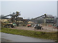
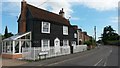
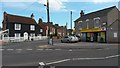
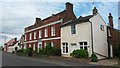
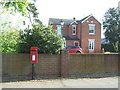
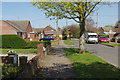
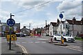
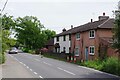
23 photos from this area
Area Information
Key information about the CO7 9ET including its size, population, and administrative classification.
- Area Type
- Postcode
- Area Size
- 4579 m²
- Population
- 1152
- Population Density
- 1143 people/km²
House Prices in CO7 9ET
9
Properties
£258,167
Average Sold Price
£76,000
Lowest Price
£425,000
Highest Price
Showing 9 properties
| Address | Type | Beds | Baths | Last Sale Price | Last Sale Date | |
|---|---|---|---|---|---|---|
| Anchorage, Colchester Road, Wivenhoe, CO7 9ET | house | - | - | £388,000 | Feb 2022 | |
| Heathfield, Colchester Road, Wivenhoe, CO7 9ET | house | - | - | £425,000 | Jun 2021 | |
| Shanklyn, Colchester Road, Wivenhoe, CO7 9ET | Bungalow | - | - | £240,000 | Jun 2021 | |
| Birabu, Colchester Road, Wivenhoe, CO7 9ET | Detached | 4 | - | £315,000 | Nov 2014 | |
| Cringles, Colchester Road, Wivenhoe, CO7 9ET | Detached | 4 | 1 | £105,000 | Aug 1999 | |
| The Bungalow, Colchester Road, Wivenhoe, CO7 9ET | Detached | - | - | £76,000 | Nov 1996 | |
| Primrose House, Colchester Road, Wivenhoe, CO7 9ET | Detached | - | - | - | - | |
| Colne Valley Veterinary Practice, The Bungalow, Colchester Road, Wivenhoe, CO7 9ET | retail_financial | - | - | - | - | |
| Foxhall, Colchester Road, Wivenhoe, CO7 9ET | Semi-detached | - | - | - | - |
Energy Efficiency in CO7 9ET
Amenities
Schools
| Rank | School | Type | Entry gender | Ages |
|---|
Explore more schools in this area
Go to Schools tabDemographics
Household Size
One person
most common
Accommodation Type
Houses
most common
Tenure
76
majority
Ethnic Group
White
most common
Religion
N/A
most common
Household Composition
N/A
most common
Age
47
median
Adults (30-64 years)
most common
Household Deprivation
N/A
with no deprivation
NS-SEC
34
in Lower managerial occupations
Explore more demographic insights in this area
Go to Demographics tabPlanning
Planning Constraints
- Flood RiskPremium
- Ramsar Wetland SitesPremium
- Area of Outstanding Natural BeautyPremium
- Protected Nature ReservePremium
- Protected WoodlandPremium