Area Overview for CO7 8BU
Photos of CO7 8BU
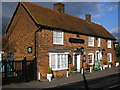
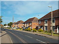
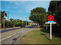
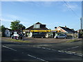
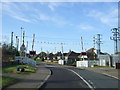

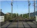
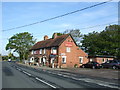
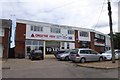
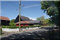
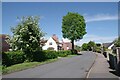
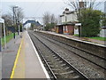
18 photos from this area
Area Information
Key information about the CO7 8BU including its size, population, and administrative classification.
- Area Type
- Postcode
- Area Size
- 2.1 hectares
- Population
- 2464
- Population Density
- 363 people/km²
House Prices in CO7 8BU
46
Properties
£218,534
Average Sold Price
£28,000
Lowest Price
£420,000
Highest Price
Showing 46 properties
| Address | Type | Beds | Baths | Last Sale Price | Last Sale Date | |
|---|---|---|---|---|---|---|
| 35 Station Road, Alresford, CO7 8BU | Chalet | 3 | 1 | £420,000 | Jul 2025 | |
| 35A Station Road, Alresford, CO7 8BU | Bungalow | 2 | 1 | £287,500 | May 2024 | |
| 42 Station Road, Alresford, CO7 8BU | Bungalow | - | - | £380,000 | Dec 2022 | |
| 52 Station Road, Alresford, CO7 8BU | house | - | - | £300,000 | Dec 2021 | |
| 48 Station Road, Alresford, CO7 8BU | Detached | - | - | £310,000 | Sep 2021 | |
| 1 Cherrywoods, Alresford, CO7 8BU | Bungalow | 3 | 1 | £287,500 | Jun 2021 | |
| 34 Station Road, Alresford, CO7 8BU | Bungalow | 3 | 1 | £385,000 | Jun 2019 | |
| 39 Station Road, Alresford, CO7 8BU | Bungalow | 3 | 1 | £375,000 | Jun 2018 | |
| 50 Station Road, Alresford, CO7 8BU | Bungalow | 3 | - | £255,000 | May 2018 | |
| 44 Station Road, Alresford, CO7 8BU | Bungalow | 3 | - | £290,000 | Sep 2017 |
Page 1 of 5
Energy Efficiency in CO7 8BU
Amenities
Schools
| Rank | School | Type | Entry gender | Ages |
|---|
Explore more schools in this area
Go to Schools tabDemographics
Household Size
Two person
most common
Accommodation Type
Houses
most common
Tenure
87
majority
Ethnic Group
White
most common
Religion
N/A
most common
Household Composition
N/A
most common
Age
47
median
Adults (30-64 years)
most common
Household Deprivation
N/A
with no deprivation
NS-SEC
32
in Lower managerial occupations
Explore more demographic insights in this area
Go to Demographics tabPlanning
Planning Constraints
- Flood RiskPremium
- Ramsar Wetland SitesPremium
- Area of Outstanding Natural BeautyPremium
- Protected Nature ReservePremium
- Protected WoodlandPremium