Area Overview for CO7 6UT
Photos of CO7 6UT
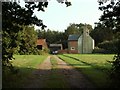
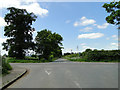
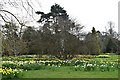
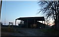
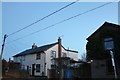
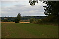
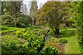
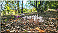
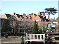
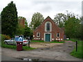
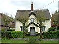
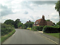
20 photos from this area
Area Information
Key information about the CO7 6UT including its size, population, and administrative classification.
- Area Type
- Postcode
- Area Size
- 52.6 hectares
- Population
- 2028
- Population Density
- 113 people/km²
House Prices in CO7 6UT
9
Properties
£775,000
Average Sold Price
£310,000
Lowest Price
£1,165,000
Highest Price
Showing 9 properties
| Address | Type | Beds | Baths | Last Sale Price | Last Sale Date | |
|---|---|---|---|---|---|---|
| Elm Farm, Straight Road, East Bergholt, CO7 6UT | Mobile Home | 2 | 2 | £1,165,000 | Jun 2021 | |
| Warren House, Straight Road, East Bergholt, CO7 6UT | house | - | - | £850,000 | Jul 2009 | |
| Martins House, Straight Road, East Bergholt, CO7 6UT | Detached | - | - | £310,000 | Jan 2007 | |
| 2, Highlands Cottages, Straight Road, East Bergholt, CO7 6UT | house | - | - | - | - | |
| 1, Highlands Cottages, Straight Road, East Bergholt, CO7 6UT | house | - | - | - | - | |
| Keepers Cottage, Straight Road, East Bergholt, CO7 6UT | house | - | - | - | - | |
| Willow Farm, Straight Road, East Bergholt, CO7 6UT | house | - | - | - | - | |
| The Old Woodyard, Straight Road, East Bergholt, CO7 6UT | house | - | - | - | - | |
| Warren Cottage, Straight Road, East Bergholt, CO7 6UT | house | - | - | - | - |
Energy Efficiency in CO7 6UT
Amenities
Schools
| Rank | School | Type | Entry gender | Ages |
|---|
Explore more schools in this area
Go to Schools tabDemographics
Household Size
Two person
most common
Accommodation Type
Houses
most common
Tenure
84
majority
Ethnic Group
White
most common
Religion
N/A
most common
Household Composition
N/A
most common
Age
47
median
Adults (30-64 years)
most common
Household Deprivation
N/A
with no deprivation
NS-SEC
40
in Lower managerial occupations
Explore more demographic insights in this area
Go to Demographics tabPlanning
Planning Constraints
- Flood RiskPremium
- Ramsar Wetland SitesPremium
- Area of Outstanding Natural BeautyPremium
- Protected Nature ReservePremium
- Protected WoodlandPremium