Area Overview for CO6 2QN
Photos of CO6 2QN
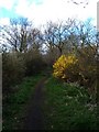
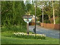
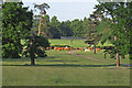
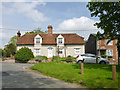
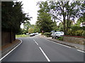
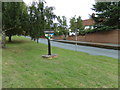
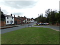
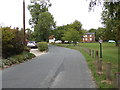
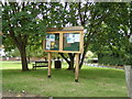
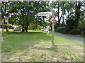
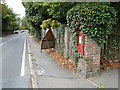
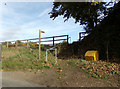
25 photos from this area
Area Information
Key information about the CO6 2QN including its size, population, and administrative classification.
- Area Type
- Postcode
- Area Size
- 19.6 hectares
- Population
- 1791
- Population Density
- 111 people/km²
House Prices in CO6 2QN
6
Properties
£458,813
Average Sold Price
£275,000
Lowest Price
£760,250
Highest Price
Showing 6 properties
| Address | Type | Beds | Baths | Last Sale Price | Last Sale Date | |
|---|---|---|---|---|---|---|
| Brooms Farm, Colne Park Road, White Colne, CO6 2QN | Detached | - | - | £300,000 | Jul 2020 | |
| High Beech, Colne Park Road, White Colne, CO6 2QN | Bungalow | - | - | £500,000 | Jun 2020 | |
| Shryves, Colne Park Road, White Colne, CO6 2QN | house | - | - | £760,250 | Dec 2016 | |
| The Lodge, Colne Park Road, Colne Engaine, CO6 2QN | Detached | 4 | - | £275,000 | Sep 2007 | |
| The Studio, Brooms Farm, Colne Park Road, White Colne, CO6 2QN | Bungalow | - | - | - | - | |
| The Woodshed, Broom Farm, Colne Park Road, White Colne, CO6 2QN | Bungalow | - | - | - | - |
Energy Efficiency in CO6 2QN
Amenities
Schools
| Rank | School | Type | Entry gender | Ages |
|---|
Explore more schools in this area
Go to Schools tabDemographics
Household Size
Two person
most common
Accommodation Type
Houses
most common
Tenure
84
majority
Ethnic Group
White
most common
Religion
N/A
most common
Household Composition
N/A
most common
Age
47
median
Adults (30-64 years)
most common
Household Deprivation
N/A
with no deprivation
NS-SEC
40
in Lower managerial occupations
Explore more demographic insights in this area
Go to Demographics tabPlanning
Planning Constraints
- Flood RiskPremium
- Ramsar Wetland SitesPremium
- Area of Outstanding Natural BeautyPremium
- Protected Nature ReservePremium
- Protected WoodlandPremium