Area Overview for CO6 2PW
Photos of CO6 2PW
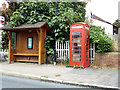
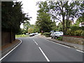
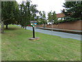
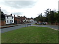
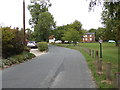
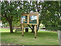
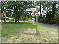
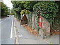
25 photos from this area
Area Information
Key information about the CO6 2PW including its size, population, and administrative classification.
- Area Type
- Postcode
- Area Size
- 4.8 hectares
- Population
- 1791
- Population Density
- 111 people/km²
House Prices in CO6 2PW
31
Properties
£293,264
Average Sold Price
£44,250
Lowest Price
£865,000
Highest Price
Showing 31 properties
| Address | Type | Beds | Baths | Last Sale Price | Last Sale Date | |
|---|---|---|---|---|---|---|
| 21 Colchester Road, White Colne, CO6 2PW | Detached | 4 | 2 | £445,000 | Aug 2024 | |
| 19 Colchester Road, White Colne, CO6 2PW | Semi-detached | - | - | £865,000 | Jun 2024 | |
| Rose Cottage, 13-15 Colchester Road, White Colne, CO6 2PW | Detached | - | - | £625,000 | Nov 2021 | |
| 59 Colchester Road, White Colne, CO6 2PW | Semi-detached | 4 | 1 | £320,000 | Dec 2019 | |
| 27 Colchester Road, White Colne, CO6 2PW | Detached | 4 | - | £385,000 | Jan 2017 | |
| 55 Colchester Road, White Colne, CO6 2PW | Semi-detached | 2 | 1 | £230,000 | May 2015 | |
| 33 Colchester Road, White Colne, CO6 2PW | Detached | 2 | - | £205,000 | Dec 2013 | |
| 5 Colchester Road, White Colne, CO6 2PW | Detached | 2 | 3 | £213,000 | Aug 2013 | |
| 1A Colchester Road, White Colne, CO6 2PW | Terraced | 3 | 2 | £242,000 | Jun 2011 | |
| 9 Colchester Road, White Colne, CO6 2PW | Detached | - | - | £415,000 | Nov 2009 |
Page 1 of 4
Energy Efficiency in CO6 2PW
Amenities
Schools
| Rank | School | Type | Entry gender | Ages |
|---|
Explore more schools in this area
Go to Schools tabDemographics
Household Size
Two person
most common
Accommodation Type
Houses
most common
Tenure
84
majority
Ethnic Group
White
most common
Religion
N/A
most common
Household Composition
N/A
most common
Age
47
median
Adults (30-64 years)
most common
Household Deprivation
N/A
with no deprivation
NS-SEC
40
in Lower managerial occupations
Explore more demographic insights in this area
Go to Demographics tabPlanning
Planning Constraints
- Flood RiskPremium
- Ramsar Wetland SitesPremium
- Area of Outstanding Natural BeautyPremium
- Protected Nature ReservePremium
- Protected WoodlandPremium