Area Overview for CO6 2LX
Photos of CO6 2LX
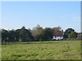
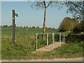
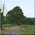
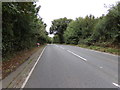
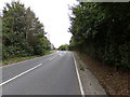
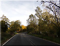
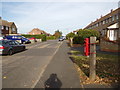
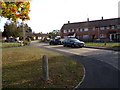
20 photos from this area
Area Information
Key information about the CO6 2LX including its size, population, and administrative classification.
- Area Type
- Postcode
- Area Size
- 3.2 hectares
- Population
- 1862
- Population Density
- 1380 people/km²
House Prices in CO6 2LX
50
Properties
£216,350
Average Sold Price
£22,800
Lowest Price
£297,500
Highest Price
Showing 50 properties
| Address | Type | Beds | Baths | Last Sale Price | Last Sale Date | |
|---|---|---|---|---|---|---|
| 30 Atlas Road, Earls Colne, CO6 2LX | Terraced | 3 | 1 | £275,000 | Jul 2025 | |
| 63 Atlas Road, Earls Colne, CO6 2LX | house | - | - | £285,000 | Mar 2022 | |
| 36 Atlas Road, Earls Colne, CO6 2LX | house | - | - | £258,000 | Sep 2021 | |
| 20 Atlas Road, Earls Colne, CO6 2LX | Terraced | 3 | - | £297,500 | Sep 2018 | |
| 32 Atlas Road, Earls Colne, CO6 2LX | house | - | - | £240,000 | Apr 2017 | |
| 16 Atlas Road, Earls Colne, CO6 2LX | Terraced | - | - | £176,500 | Jul 2007 | |
| 35 Atlas Road, Earls Colne, CO6 2LX | house | - | - | £176,000 | Dec 2006 | |
| 65 Atlas Road, Earls Colne, CO6 2LX | Terraced | 3 | 1 | £22,800 | Feb 1998 | |
| 47A Atlas Road, Earls Colne, CO6 2LX | Flat | 3 | 2 | - | - | |
| 32A Atlas Road, Earls Colne, CO6 2LX | Detached | 3 | - | - | - |
Page 1 of 5
Energy Efficiency in CO6 2LX
Amenities
Schools
| Rank | School | Type | Entry gender | Ages |
|---|
Explore more schools in this area
Go to Schools tabDemographics
Household Size
Two person
most common
Accommodation Type
Houses
most common
Tenure
52
majority
Ethnic Group
White
most common
Religion
N/A
most common
Household Composition
N/A
most common
Age
47
median
Adults (30-64 years)
most common
Household Deprivation
N/A
with no deprivation
NS-SEC
29
in Lower managerial occupations
Explore more demographic insights in this area
Go to Demographics tabPlanning
Planning Constraints
- Flood RiskPremium
- Ramsar Wetland SitesPremium
- Area of Outstanding Natural BeautyPremium
- Protected Nature ReservePremium
- Protected WoodlandPremium