Area Overview for CO13 0UP
Photos of CO13 0UP
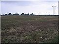

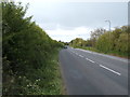
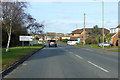
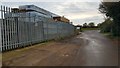
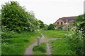
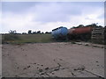
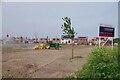
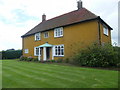
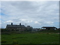
11 photos from this area
Area Information
Key information about the CO13 0UP including its size, population, and administrative classification.
- Area Type
- Postcode
- Area Size
- 9800 m²
- Population
- 1309
- Population Density
- 2442 people/km²
House Prices in CO13 0UP
18
Properties
£135,638
Average Sold Price
£16,200
Lowest Price
£222,500
Highest Price
Showing 18 properties
| Address | Type | Beds | Baths | Last Sale Price | Last Sale Date | |
|---|---|---|---|---|---|---|
| 14 Raeburn Close, Kirby Cross, CO13 0UP | Detached | 2 | 1 | £222,500 | Oct 2025 | |
| 16 Raeburn Close, Kirby Cross, CO13 0UP | Bungalow | - | - | £212,000 | Sep 2022 | |
| 18 Raeburn Close, Kirby Cross, CO13 0UP | Detached | 1 | 1 | £174,000 | Aug 2020 | |
| 1 Raeburn Close, Kirby Cross, CO13 0UP | Semi-detached | 3 | 1 | £200,000 | Apr 2019 | |
| 8 Raeburn Close, Kirby Cross, CO13 0UP | Semi-detached | 1 | 1 | £185,000 | Feb 2019 | |
| 10 Raeburn Close, Kirby Cross, CO13 0UP | Semi-detached | 1 | 1 | £190,000 | Feb 2018 | |
| 7 Raeburn Close, Kirby Cross, CO13 0UP | Semi-detached | 3 | 2 | £210,000 | Mar 2016 | |
| 26 Raeburn Close, Kirby Cross, CO13 0UP | Semi-detached | 2 | 1 | £115,000 | Feb 2015 | |
| 4 Raeburn Close, Kirby Cross, CO13 0UP | house | - | - | £149,000 | Aug 2010 | |
| 22 Raeburn Close, Kirby Cross, CO13 0UP | Detached | - | - | £164,000 | Oct 2007 |
Page 1 of 2
Energy Efficiency in CO13 0UP
Amenities
Schools
| Rank | School | Type | Entry gender | Ages |
|---|
Explore more schools in this area
Go to Schools tabDemographics
Household Size
Two person
most common
Accommodation Type
Houses
most common
Tenure
79
majority
Ethnic Group
White
most common
Religion
N/A
most common
Household Composition
N/A
most common
Age
47
median
Elderly (65+ years)
most common
Household Deprivation
N/A
with no deprivation
NS-SEC
29
in Lower managerial occupations
Explore more demographic insights in this area
Go to Demographics tabPlanning
Planning Constraints
- Flood RiskPremium
- Ramsar Wetland SitesPremium
- Area of Outstanding Natural BeautyPremium
- Protected Nature ReservePremium
- Protected WoodlandPremium