Area Overview for CO10 9SH
Photos of CO10 9SH
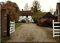
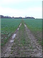
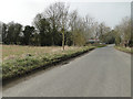
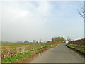
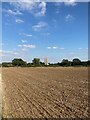
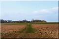
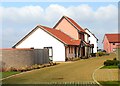
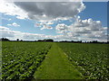
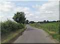
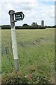
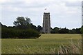
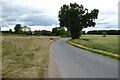
15 photos from this area
Area Information
Key information about the CO10 9SH including its size, population, and administrative classification.
- Area Type
- Postcode
- Area Size
- 27.9 hectares
- Population
- 1922
- Population Density
- 160 people/km²
House Prices in CO10 9SH
12
Properties
£420,000
Average Sold Price
£305,000
Lowest Price
£600,000
Highest Price
Showing 12 properties
| Address | Type | Beds | Baths | Last Sale Price | Last Sale Date | |
|---|---|---|---|---|---|---|
| 3 Bridge Street Road, Lavenham, CO10 9SH | Bungalow | 3 | 2 | £490,000 | Jul 2022 | |
| 1 Bridge Street Road, Lavenham, CO10 9SH | Retail | 3 | 2 | £600,000 | Jun 2022 | |
| 2 Bridge Street Road, Lavenham, CO10 9SH | Bungalow | 2 | 1 | £345,000 | Jun 2017 | |
| Saxons, Bridge Street Road, Lavenham, CO10 9SH | Bungalow | 3 | - | £360,000 | Feb 2011 | |
| Finches, Bridge Street Road, Lavenham, CO10 9SH | Detached | - | - | £305,000 | Sep 2003 | |
| Pippins, Bridge Street Road, Lavenham, CO10 9SH | Bungalow | 2 | 2 | - | - | |
| Tennis 61M From Pippins, Bridge Street Road 82M From Bridge Street Road, Bridge Street Road, Lavenham, CO10 9SH | Leisure | - | - | - | - | |
| Tennis 143M From Pippins, Bridge Street Road 33M From Bridge Street Road, Bridge Street Road, Lavenham, CO10 9SH | Leisure | - | - | - | - | |
| Tennis 61M From Pippins, Bridge Street Road 78M From Bridge Street Road, Bridge Street Road, Lavenham, CO10 9SH | Leisure | - | - | - | - | |
| 4 Bridge Street Road, Lavenham, CO10 9SH | Detached | - | - | - | - |
Page 1 of 2
Energy Efficiency in CO10 9SH
Amenities
Schools
| Rank | School | Type | Entry gender | Ages |
|---|
Explore more schools in this area
Go to Schools tabDemographics
Household Size
One person
most common
Accommodation Type
Houses
most common
Tenure
65
majority
Ethnic Group
White
most common
Religion
N/A
most common
Household Composition
N/A
most common
Age
47
median
Adults (30-64 years)
most common
Household Deprivation
N/A
with no deprivation
NS-SEC
38
in Lower managerial occupations
Explore more demographic insights in this area
Go to Demographics tabPlanning
Planning Constraints
- Flood RiskPremium
- Ramsar Wetland SitesPremium
- Area of Outstanding Natural BeautyPremium
- Protected Nature ReservePremium
- Protected WoodlandPremium