Area Overview for CM9 5QJ
Photos of CM9 5QJ
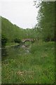
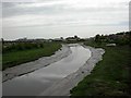
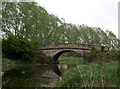
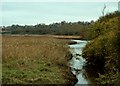
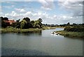
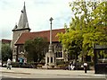
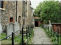
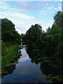
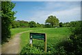
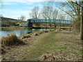
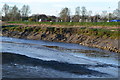
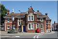
100 photos from this area
Area Information
Key information about the CM9 5QJ including its size, population, and administrative classification.
- Area Type
- Postcode
- Area Size
- 3.9 hectares
- Population
- Not available
- Population Density
- Not available
House Prices in CM9 5QJ
9
Properties
£619,000
Average Sold Price
£200,000
Lowest Price
£1,020,000
Highest Price
Showing 9 properties
| Address | Type | Beds | Baths | Last Sale Price | Last Sale Date | |
|---|---|---|---|---|---|---|
| 46 Beeleigh Road, Maldon, CM9 5QJ | Bungalow | - | - | £405,000 | Jan 2023 | |
| Blackwater House, Beeleigh Road, Maldon, CM9 5QJ | house | - | - | £1,020,000 | Sep 2022 | |
| White Lodge, 50 Beeleigh Road, Maldon, CM9 5QJ | house | - | - | £840,000 | Aug 2021 | |
| The Willows, Beeleigh Road, Maldon, CM9 5QJ | house | - | - | £630,000 | Sep 2016 | |
| 48 Beeleigh Road, Maldon, CM9 5QJ | Semi-detached | - | - | £200,000 | Apr 2011 | |
| Riverscourt, Beeleigh Road, Maldon, CM9 5QJ | Detached | 4 | 2 | - | - | |
| Walnut Tree Cottage, 44 Beeleigh Road, Maldon, CM9 5QJ | house | - | - | - | - | |
| 52 Beeleigh Road, Maldon, CM9 5QJ | Bungalow | 3 | 1 | - | - | |
| Orchard House, Beeleigh Road, Maldon, CM9 5QJ | Detached | - | - | - | - |
Energy Efficiency in CM9 5QJ
Amenities
Schools
| Rank | School | Type | Entry gender | Ages |
|---|
Explore more schools in this area
Go to Schools tabDemographics
Household Size
One person
most common
Accommodation Type
Houses
most common
Tenure
77
majority
Ethnic Group
White
most common
Religion
N/A
most common
Household Composition
N/A
most common
Age
47
median
Elderly (65+ years)
most common
Household Deprivation
N/A
with no deprivation
NS-SEC
38
in Lower managerial occupations
Explore more demographic insights in this area
Go to Demographics tabPlanning
Planning Constraints
- Flood RiskPremium
- Ramsar Wetland SitesPremium
- Area of Outstanding Natural BeautyPremium
- Protected Nature ReservePremium
- Protected WoodlandPremium