Area Overview for CM5 0AH
Photos of CM5 0AH
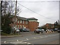
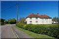
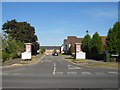
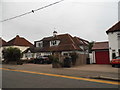
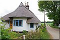
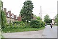
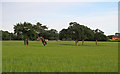
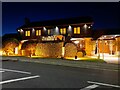
19 photos from this area
Area Information
Key information about the CM5 0AH including its size, population, and administrative classification.
- Area Type
- Postcode
- Area Size
- 1.3 hectares
- Population
- 2760
- Population Density
- 987 people/km²
House Prices in CM5 0AH
8
Properties
£413,750
Average Sold Price
£275,000
Lowest Price
£680,000
Highest Price
Showing 8 properties
| Address | Type | Beds | Baths | Last Sale Price | Last Sale Date | |
|---|---|---|---|---|---|---|
| 6 Fyfield Road, Ongar, CM5 0AH | Detached | 4 | - | £425,000 | Sep 2017 | |
| Cenicienta, 12 Fyfield Road, Ongar, CM5 0AH | Detached | - | - | £680,000 | Dec 2011 | |
| 10 Fyfield Road, Ongar, CM5 0AH | Semi-detached | - | - | £275,000 | Dec 2006 | |
| The Oaks, 4 Fyfield Road, Ongar, CM5 0AH | retail_financial | - | - | £275,000 | Feb 2002 | |
| O Comitti And Son Ltd, Four Wantz Corner, Fyfield Road, Ongar, CM5 0AH | office_workshop | - | - | - | - | |
| 8 Fyfield Road, Ongar, CM5 0AH | Semi-detached | - | - | - | - | |
| 2 Fyfield Road, Ongar, CM5 0AH | Bungalow | - | - | - | - | |
| Tudor Grove, Fyfield Road, Moreton, Ongar, CM5 0AH | Detached | - | - | - | - |
Energy Efficiency in CM5 0AH
Amenities
Schools
| Rank | School | Type | Entry gender | Ages |
|---|
Explore more schools in this area
Go to Schools tabDemographics
Household Size
Family (3-5 people)
most common
Accommodation Type
Houses
most common
Tenure
60
majority
Ethnic Group
White
most common
Religion
N/A
most common
Household Composition
N/A
most common
Age
47
median
Adults (30-64 years)
most common
Household Deprivation
N/A
with no deprivation
NS-SEC
27
in Lower managerial occupations
Explore more demographic insights in this area
Go to Demographics tabPlanning
Planning Constraints
- Flood RiskPremium
- Ramsar Wetland SitesPremium
- Area of Outstanding Natural BeautyPremium
- Protected Nature ReservePremium
- Protected WoodlandPremium