Area Overview for CM5 0AG
Photos of CM5 0AG
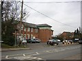
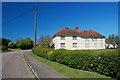
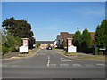
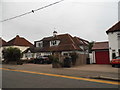
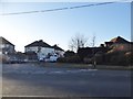
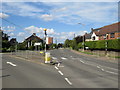
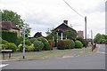
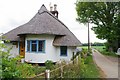
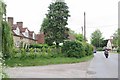
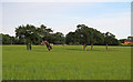
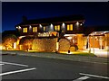
19 photos from this area
Area Information
Key information about the CM5 0AG including its size, population, and administrative classification.
- Area Type
- Postcode
- Area Size
- 5258 m²
- Population
- 2760
- Population Density
- 987 people/km²
House Prices in CM5 0AG
14
Properties
£308,200
Average Sold Price
£155,000
Lowest Price
£540,000
Highest Price
Showing 14 properties
| Address | Type | Beds | Baths | Last Sale Price | Last Sale Date | |
|---|---|---|---|---|---|---|
| Sunnyside, 17 Fyfield Road, Ongar, CM5 0AG | Semi-detached | 4 | 3 | £540,000 | Dec 2018 | |
| 31 Fyfield Road, Ongar, CM5 0AG | house | - | - | £480,000 | Nov 2018 | |
| 11 Fyfield Road, Ongar, CM5 0AG | Semi-detached | 2 | 2 | £340,000 | Apr 2018 | |
| Brandon, 33 Fyfield Road, Ongar, CM5 0AG | Semi-detached | 3 | 1 | £367,500 | Nov 2014 | |
| 19 Fyfield Road, Ongar, CM5 0AG | house | 3 | - | £265,000 | Jul 2010 | |
| Heathfield, 35 Fyfield Road, Ongar, CM5 0AG | Semi-detached | 3 | 1 | £275,000 | May 2007 | |
| Cotleigh, 29 Fyfield Road, Ongar, CM5 0AG | Semi-detached | - | - | £276,500 | Mar 2007 | |
| 13 Fyfield Road, Ongar, CM5 0AG | Semi-detached | - | - | £210,000 | Oct 2005 | |
| Rosemount, 15 Fyfield Road, Ongar, CM5 0AG | Detached | - | - | £173,000 | Jul 2002 | |
| Milverton, 27 Fyfield Road, Ongar, CM5 0AG | Semi-detached | - | - | £155,000 | Mar 2001 |
Page 1 of 2
Energy Efficiency in CM5 0AG
Amenities
Schools
| Rank | School | Type | Entry gender | Ages |
|---|
Explore more schools in this area
Go to Schools tabDemographics
Household Size
Family (3-5 people)
most common
Accommodation Type
Houses
most common
Tenure
60
majority
Ethnic Group
White
most common
Religion
N/A
most common
Household Composition
N/A
most common
Age
47
median
Adults (30-64 years)
most common
Household Deprivation
N/A
with no deprivation
NS-SEC
27
in Lower managerial occupations
Explore more demographic insights in this area
Go to Demographics tabPlanning
Planning Constraints
- Flood RiskPremium
- Ramsar Wetland SitesPremium
- Area of Outstanding Natural BeautyPremium
- Protected Nature ReservePremium
- Protected WoodlandPremium