Area Overview for CM4 0JX
Photos of CM4 0JX
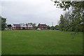
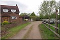
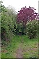
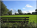
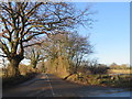
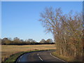
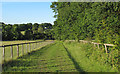
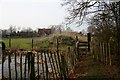
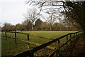
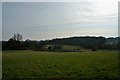
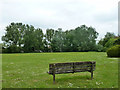
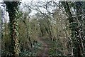
13 photos from this area
Area Information
Key information about the CM4 0JX including its size, population, and administrative classification.
- Area Type
- Postcode
- Area Size
- 90.3 hectares
- Population
- 2464
- Population Density
- 54 people/km²
House Prices in CM4 0JX
24
Properties
£622,499
Average Sold Price
£60,000
Lowest Price
£1,100,000
Highest Price
Showing 24 properties
| Address | Type | Beds | Baths | Last Sale Price | Last Sale Date | |
|---|---|---|---|---|---|---|
| Charmaine, Woolmongers Lane, High Ongar, Ongar, CM4 0JX | Bungalow | 3 | 1 | £765,000 | Nov 2024 | |
| Ferrers Farm, Woolmongers Lane, High Ongar, Ongar, CM4 0JX | Detached | 4 | 4 | £1,100,000 | Oct 2022 | |
| The Willows, Woolmongers Lane, High Ongar, Ongar, CM4 0JX | Detached | 4 | - | £975,000 | Sep 2020 | |
| Appleby, Woolmongers Lane, High Ongar, Ongar, CM4 0JX | Detached | - | - | £60,000 | Dec 2016 | |
| Braeside, Woolmongers Lane, High Ongar, Ongar, CM4 0JX | house | 3 | - | £560,000 | Jun 2015 | |
| Monks Acres, Woolmongers Lane, High Ongar, Ongar, CM4 0JX | Bungalow | 2 | - | £500,000 | Oct 2012 | |
| Whitegates, Woolmongers Lane, High Ongar, Ongar, CM4 0JX | Detached | 4 | - | £760,000 | Sep 2011 | |
| Southlands, Woolmongers Lane, High Ongar, Ongar, CM4 0JX | Semi-detached | - | - | £259,995 | Jul 2003 | |
| Woolmongers, Woolmongers Lane, High Ongar, Ongar, CM4 0JX | Detached | 5 | 2 | - | - | |
| Rileys, Woolmongers Lane, High Ongar, Ongar, CM4 0JX | Land | - | - | - | - |
Page 1 of 3
Energy Efficiency in CM4 0JX
Amenities
Schools
| Rank | School | Type | Entry gender | Ages |
|---|
Explore more schools in this area
Go to Schools tabDemographics
Household Size
Family (3-5 people)
most common
Accommodation Type
Houses
most common
Tenure
74
majority
Ethnic Group
White
most common
Religion
N/A
most common
Household Composition
N/A
most common
Age
47
median
Adults (30-64 years)
most common
Household Deprivation
N/A
with no deprivation
NS-SEC
37
in Lower managerial occupations
Explore more demographic insights in this area
Go to Demographics tabPlanning
Planning Constraints
- Flood RiskPremium
- Ramsar Wetland SitesPremium
- Area of Outstanding Natural BeautyPremium
- Protected Nature ReservePremium
- Protected WoodlandPremium