Area Overview for CM24 8UF
Photos of CM24 8UF

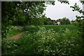
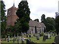
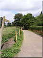
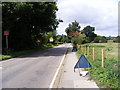
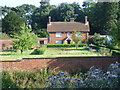
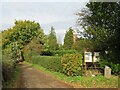
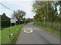
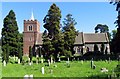


30 photos from this area
Area Information
Key information about the CM24 8UF including its size, population, and administrative classification.
- Area Type
- Postcode
- Area Size
- 35.4 hectares
- Population
- 1767
- Population Density
- 213 people/km²
House Prices in CM24 8UF
15
Properties
£518,950
Average Sold Price
£120,000
Lowest Price
£1,600,000
Highest Price
Showing 15 properties
| Address | Type | Beds | Baths | Last Sale Price | Last Sale Date | |
|---|---|---|---|---|---|---|
| Cedrus, Burton End, Stansted, CM24 8UF | house | - | - | £810,000 | Feb 2025 | |
| 3, Rochford Cottages, Burton End, Stansted, CM24 8UF | Terraced | 4 | 1 | £315,000 | Aug 2024 | |
| Marlensdale, Burton End, Stansted, CM24 8UF | Bungalow | - | - | £1,600,000 | Nov 2023 | |
| Four Winds, Burton End, Stansted, CM24 8UF | Detached | 5 | 2 | £852,500 | Oct 2022 | |
| Bontddu, Burton End, Stansted, CM24 8UF | Bungalow | - | - | £425,000 | Nov 2019 | |
| Fieldside Cottage, Burton End, Stansted, CM24 8UF | Cottage | 2 | - | £295,000 | May 2016 | |
| Honeysuckle Cottage, Burton End, Stansted, CM24 8UF | house | - | - | £336,000 | May 2013 | |
| Myrtle Cottage, Burton End, Stansted, CM24 8UF | house | - | - | £304,000 | Aug 2012 | |
| Spring View, Burton End, Stansted, CM24 8UF | Detached | - | - | £120,000 | Jul 1999 | |
| Bennetts, Burton End, Stansted, CM24 8UF | Detached | 4 | - | £132,000 | Apr 1997 |
Page 1 of 2
Energy Efficiency in CM24 8UF
Amenities
Schools
| Rank | School | Type | Entry gender | Ages |
|---|
Explore more schools in this area
Go to Schools tabDemographics
Household Size
Family (3-5 people)
most common
Accommodation Type
Houses
most common
Tenure
55
majority
Ethnic Group
White
most common
Religion
N/A
most common
Household Composition
N/A
most common
Age
47
median
Adults (30-64 years)
most common
Household Deprivation
N/A
with no deprivation
NS-SEC
37
in Lower managerial occupations
Explore more demographic insights in this area
Go to Demographics tabPlanning
Planning Constraints
- Flood RiskPremium
- Ramsar Wetland SitesPremium
- Area of Outstanding Natural BeautyPremium
- Protected Nature ReservePremium
- Protected WoodlandPremium