Area Overview for CM22 6HX
Photos of CM22 6HX
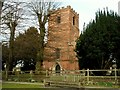
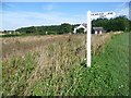
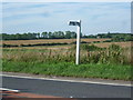
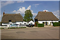
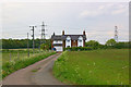
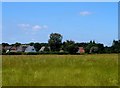
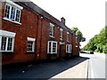
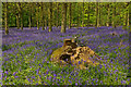
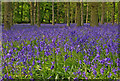
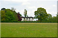
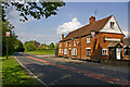
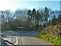
21 photos from this area
Area Information
Key information about the CM22 6HX including its size, population, and administrative classification.
- Area Type
- Postcode
- Area Size
- 3.0 hectares
- Population
- 1796
- Population Density
- 161 people/km²
House Prices in CM22 6HX
11
Properties
£881,667
Average Sold Price
£565,000
Lowest Price
£1,080,000
Highest Price
Showing 11 properties
| Address | Type | Beds | Baths | Last Sale Price | Last Sale Date | |
|---|---|---|---|---|---|---|
| St Aubyns, Cambridge Road, Ugley, CM22 6HX | Detached | 3 | 2 | £565,000 | May 2024 | |
| Grove House, Cambridge Road, Ugley, CM22 6HX | Detached | 4 | 5 | £1,080,000 | Jul 2016 | |
| Mulberry House, Cambridge Road, Ugley, CM22 6HX | Detached | 5 | 5 | £1,000,000 | Feb 2016 | |
| Beeches, Cambridge Road, Ugley, CM22 6HX | Detached | 4 | 2 | - | - | |
| Rosies Walk, Cambridge Road, Ugley, CM22 6HX | Detached | 4 | 3 | - | - | |
| Willow House, Cambridge Road, Ugley, CM22 6HX | Detached | 3 | 3 | - | - | |
| Studlands, Cambridge Road, Ugley, CM22 6HX | Detached | 4 | - | - | - | |
| 1, Plot, Land At Cambridge Road, Cambridge Road, Ugley, CM22 6HX | Detached | 4 | 3 | - | - | |
| Kaydene, Cambridge Road, Ugley, CM22 6HX | Bungalow | 3 | 1 | - | - | |
| West View, Cambridge Road, Ugley, CM22 6HX | Detached | - | - | - | - |
Page 1 of 2
Energy Efficiency in CM22 6HX
Amenities
Schools
| Rank | School | Type | Entry gender | Ages |
|---|
Explore more schools in this area
Go to Schools tabDemographics
Household Size
Two person
most common
Accommodation Type
Houses
most common
Tenure
77
majority
Ethnic Group
White
most common
Religion
N/A
most common
Household Composition
N/A
most common
Age
47
median
Adults (30-64 years)
most common
Household Deprivation
N/A
with no deprivation
NS-SEC
42
in Lower managerial occupations
Explore more demographic insights in this area
Go to Demographics tabPlanning
Planning Constraints
- Flood RiskPremium
- Ramsar Wetland SitesPremium
- Area of Outstanding Natural BeautyPremium
- Protected Nature ReservePremium
- Protected WoodlandPremium