Area Overview for CM2 8UZ
Photos of CM2 8UZ
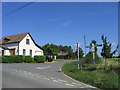
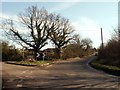
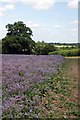
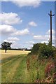
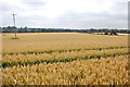
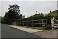
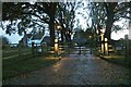
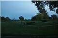
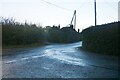
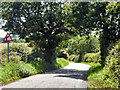
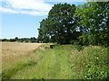
20 photos from this area
Area Information
Key information about the CM2 8UZ including its size, population, and administrative classification.
- Area Type
- Postcode
- Area Size
- 8.4 hectares
- Population
- 1495
- Population Density
- 133 people/km²
House Prices in CM2 8UZ
16
Properties
£476,325
Average Sold Price
£164,750
Lowest Price
£1,015,000
Highest Price
Showing 16 properties
| Address | Type | Beds | Baths | Last Sale Price | Last Sale Date | |
|---|---|---|---|---|---|---|
| Valdale, Ship Road, West Hanningfield, Chelmsford, CM2 8UZ | house | - | - | £610,000 | Sep 2022 | |
| Pennyfields, Ship Road, West Hanningfield, Chelmsford, CM2 8UZ | Detached | 5 | 2 | £1,015,000 | Jul 2022 | |
| Lenada, Ship Road, West Hanningfield, Chelmsford, CM2 8UZ | Bungalow | - | - | £690,000 | Jun 2021 | |
| Prupen, Ship Road, West Hanningfield, Chelmsford, CM2 8UZ | Bungalow | 2 | 2 | £480,000 | Jan 2020 | |
| Kenna Quhair, Ship Road, West Hanningfield, Chelmsford, CM2 8UZ | Bungalow | 3 | 1 | £380,000 | Jul 2016 | |
| Winterbourne, Ship Road, West Hanningfield, Chelmsford, CM2 8UZ | Detached | - | - | £349,995 | Oct 2012 | |
| Wayside, Ship Road, West Hanningfield, Chelmsford, CM2 8UZ | Bungalow | 5 | - | £488,500 | Dec 2011 | |
| Briar Glen, Ship Road, West Hanningfield, Chelmsford, CM2 8UZ | Detached | 4 | 4 | £320,000 | Mar 2004 | |
| Blue Hedges, Ship Road, West Hanningfield, Chelmsford, CM2 8UZ | Detached | - | - | £265,000 | Sep 2001 | |
| Ford Cottage, Ship Road, West Hanningfield, Chelmsford, CM2 8UZ | Detached | - | - | £164,750 | Jul 1998 |
Page 1 of 2
Energy Efficiency in CM2 8UZ
Amenities
Schools
| Rank | School | Type | Entry gender | Ages |
|---|
Explore more schools in this area
Go to Schools tabDemographics
Household Size
One person
most common
Accommodation Type
Houses
most common
Tenure
86
majority
Ethnic Group
White
most common
Religion
N/A
most common
Household Composition
N/A
most common
Age
47
median
Adults (30-64 years)
most common
Household Deprivation
N/A
with no deprivation
NS-SEC
42
in Lower managerial occupations
Explore more demographic insights in this area
Go to Demographics tabPlanning
Planning Constraints
- Flood RiskPremium
- Ramsar Wetland SitesPremium
- Area of Outstanding Natural BeautyPremium
- Protected Nature ReservePremium
- Protected WoodlandPremium