Area Overview for CM18 7DS
Photos of CM18 7DS
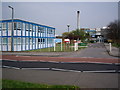
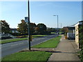
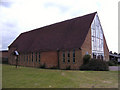
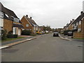
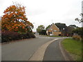
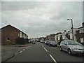

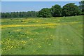
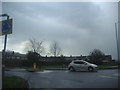
15 photos from this area
Area Information
Key information about the CM18 7DS including its size, population, and administrative classification.
- Area Type
- Postcode
- Area Size
- 7499 m²
- Population
- Not available
- Population Density
- Not available
House Prices in CM18 7DS
31
Properties
£213,333
Average Sold Price
£38,500
Lowest Price
£390,000
Highest Price
Showing 31 properties
| Address | Type | Beds | Baths | Last Sale Price | Last Sale Date | |
|---|---|---|---|---|---|---|
| 91 Wharley Hook, Harlow, CM18 7DS | Terraced | 2 | 1 | £300,000 | May 2025 | |
| 93 Wharley Hook, Harlow, CM18 7DS | Terraced | 2 | 1 | £320,000 | May 2025 | |
| 107 Wharley Hook, Harlow, CM18 7DS | Terraced | 3 | 1 | £390,000 | Apr 2023 | |
| 97 Wharley Hook, Harlow, CM18 7DS | Terraced | 2 | 1 | £330,000 | Mar 2023 | |
| 106 Wharley Hook, Harlow, CM18 7DS | Terraced | 3 | 1 | £320,000 | Dec 2022 | |
| 103 Wharley Hook, Harlow, CM18 7DS | Flat | - | - | £170,000 | Sep 2021 | |
| 84 Wharley Hook, Harlow, CM18 7DS | Terraced | 3 | 1 | £264,000 | Mar 2017 | |
| 114 Wharley Hook, Harlow, CM18 7DS | Terraced | 2 | - | £247,500 | Mar 2016 | |
| 113 Wharley Hook, Harlow, CM18 7DS | Terraced | 2 | - | £230,000 | Nov 2015 | |
| 112 Wharley Hook, Harlow, CM18 7DS | Terraced | - | - | £146,500 | Feb 2007 |
Page 1 of 4
Energy Efficiency in CM18 7DS
Amenities
Schools
| Rank | School | Type | Entry gender | Ages |
|---|
Explore more schools in this area
Go to Schools tabDemographics
Household Size
Family (3-5 people)
most common
Accommodation Type
Houses
most common
Tenure
67
majority
Ethnic Group
White
most common
Religion
N/A
most common
Household Composition
N/A
most common
Age
47
median
Adults (30-64 years)
most common
Household Deprivation
N/A
with no deprivation
NS-SEC
29
in Lower managerial occupations
Explore more demographic insights in this area
Go to Demographics tabPlanning
Planning Constraints
- Flood RiskPremium
- Ramsar Wetland SitesPremium
- Area of Outstanding Natural BeautyPremium
- Protected Nature ReservePremium
- Protected WoodlandPremium