Area Overview for CM18 7DE
Photos of CM18 7DE
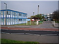
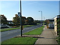
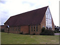
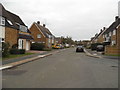
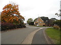
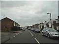
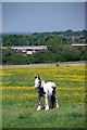
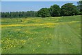
15 photos from this area
Area Information
Key information about the CM18 7DE including its size, population, and administrative classification.
- Area Type
- Postcode
- Area Size
- 8761 m²
- Population
- 1870
- Population Density
- 6105 people/km²
House Prices in CM18 7DE
37
Properties
£187,038
Average Sold Price
£54,000
Lowest Price
£310,000
Highest Price
Showing 37 properties
| Address | Type | Beds | Baths | Last Sale Price | Last Sale Date | |
|---|---|---|---|---|---|---|
| 71 Little Pynchons, Harlow, CM18 7DE | Terraced | 2 | 1 | £290,000 | Sep 2025 | |
| 80 Little Pynchons, Harlow, CM18 7DE | Terraced | 2 | 1 | £310,000 | Sep 2022 | |
| 62 Little Pynchons, Harlow, CM18 7DE | Terraced | - | - | £300,000 | Mar 2022 | |
| 86 Little Pynchons, Harlow, CM18 7DE | Flat | 1 | 1 | £155,000 | Dec 2021 | |
| 61 Little Pynchons, Harlow, CM18 7DE | Terraced | 3 | 1 | £298,000 | Aug 2021 | |
| 74 Little Pynchons, Harlow, CM18 7DE | Terraced | 2 | 1 | £235,000 | Nov 2018 | |
| 59 Little Pynchons, Harlow, CM18 7DE | Terraced | 3 | 1 | £221,000 | Sep 2015 | |
| 77 Little Pynchons, Harlow, CM18 7DE | house | - | - | £123,000 | Jan 2012 | |
| 82 Little Pynchons, Harlow, CM18 7DE | house | - | - | £142,000 | Aug 2006 | |
| 60 Little Pynchons, Harlow, CM18 7DE | Terraced | - | - | £156,000 | May 2005 |
Page 1 of 4
Energy Efficiency in CM18 7DE
Amenities
Schools
| Rank | School | Type | Entry gender | Ages |
|---|
Explore more schools in this area
Go to Schools tabDemographics
Household Size
Family (3-5 people)
most common
Accommodation Type
Houses
most common
Tenure
39
majority
Ethnic Group
White
most common
Religion
N/A
most common
Household Composition
N/A
most common
Age
47
median
Adults (30-64 years)
most common
Household Deprivation
N/A
with no deprivation
NS-SEC
20
in Lower managerial occupations
Explore more demographic insights in this area
Go to Demographics tabPlanning
Planning Constraints
- Flood RiskPremium
- Ramsar Wetland SitesPremium
- Area of Outstanding Natural BeautyPremium
- Protected Nature ReservePremium
- Protected WoodlandPremium