Area Overview for CM17 0NE
Photos of CM17 0NE
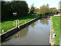
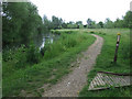
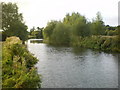
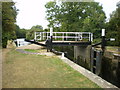
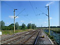
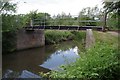
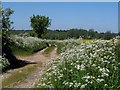
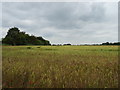
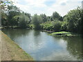
27 photos from this area
Area Information
Key information about the CM17 0NE including its size, population, and administrative classification.
- Area Type
- Postcode
- Area Size
- 73.0 hectares
- Population
- 2173
- Population Density
- 410 people/km²
House Prices in CM17 0NE
13
Properties
£747,167
Average Sold Price
£400,000
Lowest Price
£951,500
Highest Price
Showing 13 properties
| Address | Type | Beds | Baths | Last Sale Price | Last Sale Date | |
|---|---|---|---|---|---|---|
| Allbrook House, Sheering Lower Road, Sheering, Harlow, CM17 0NE | house | - | - | £890,000 | Dec 2012 | |
| Ashlands, Sheering Lower Road, Sheering, Harlow, CM17 0NE | Semi-detached | - | - | £951,500 | Sep 2010 | |
| Pincey, Sheering Lower Road, Sheering, Harlow, CM17 0NE | Detached | 5 | 2 | £400,000 | Aug 2007 | |
| Old Dairy, Aylmers Farm, Sheering Lower Road, Sheering, Harlow, CM17 0NE | Semi-detached | 2 | 2 | - | - | |
| Aylmers Farm, Sheering Lower Road, Sheering, Harlow, CM17 0NE | Bungalow | 2 | 2 | - | - | |
| Durrington House, Sheering Lower Road, Sheering, Harlow, CM17 0NE | Land | 5 | 5 | - | - | |
| Clock Cottage, Sheering Lower Road, Sheering, Harlow, CM17 0NE | Detached | 10 | - | - | - | |
| Coach House, Durrington House, Sheering Lower Road, Sheering, Harlow, CM17 0NE | Detached | - | - | - | - | |
| Stable Cottage, Durrington House, Sheering Lower Road, Sheering, Harlow, CM17 0NE | Bungalow | - | - | - | - | |
| 1, Durrington Cottages, Sheering Lower Road, Sheering, Harlow, CM17 0NE | house | - | - | - | - |
Page 1 of 2
Energy Efficiency in CM17 0NE
Amenities
Schools
| Rank | School | Type | Entry gender | Ages |
|---|
Explore more schools in this area
Go to Schools tabDemographics
Household Size
One person
most common
Accommodation Type
Houses
most common
Tenure
64
majority
Ethnic Group
White
most common
Religion
N/A
most common
Household Composition
N/A
most common
Age
47
median
Adults (30-64 years)
most common
Household Deprivation
N/A
with no deprivation
NS-SEC
45
in Lower managerial occupations
Explore more demographic insights in this area
Go to Demographics tabPlanning
Planning Constraints
- Flood RiskPremium
- Ramsar Wetland SitesPremium
- Area of Outstanding Natural BeautyPremium
- Protected Nature ReservePremium
- Protected WoodlandPremium