Area Overview for CM14 4YH
Photos of CM14 4YH
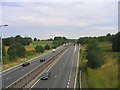
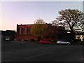
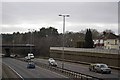
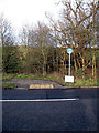
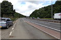
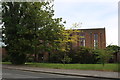
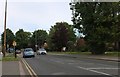
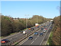
28 photos from this area
Area Information
Key information about the CM14 4YH including its size, population, and administrative classification.
- Area Type
- Postcode
- Area Size
- 6005 m²
- Population
- 1865
- Population Density
- 5223 people/km²
House Prices in CM14 4YH
18
Properties
£195,268
Average Sold Price
£62,200
Lowest Price
£350,000
Highest Price
Showing 18 properties
| Address | Type | Beds | Baths | Last Sale Price | Last Sale Date | |
|---|---|---|---|---|---|---|
| 68 Greenshaw, Brentwood, CM14 4YH | Terraced | 3 | 1 | £310,000 | Aug 2015 | |
| 52 Greenshaw, Brentwood, CM14 4YH | house | - | - | £350,000 | Apr 2015 | |
| 50 Greenshaw, Brentwood, CM14 4YH | house | - | - | £310,000 | Jan 2015 | |
| 46 Greenshaw, Brentwood, CM14 4YH | Terraced | - | - | £288,000 | May 2007 | |
| 40 Greenshaw, Brentwood, CM14 4YH | house | - | - | £230,000 | Jun 2004 | |
| 54 Greenshaw, Brentwood, CM14 4YH | Semi-detached | 3 | - | £165,000 | Oct 2003 | |
| 74 Greenshaw, Brentwood, CM14 4YH | Terraced | 3 | 2 | £120,000 | Mar 2002 | |
| 44 Greenshaw, Brentwood, CM14 4YH | Terraced | - | - | £135,000 | May 2000 | |
| 62 Greenshaw, Brentwood, CM14 4YH | Terraced | - | - | £94,000 | Feb 2000 | |
| 60 Greenshaw, Brentwood, CM14 4YH | Terraced | - | - | £83,750 | Nov 1997 |
Page 1 of 2
Energy Efficiency in CM14 4YH
Amenities
Schools
| Rank | School | Type | Entry gender | Ages |
|---|
Explore more schools in this area
Go to Schools tabDemographics
Household Size
Family (3-5 people)
most common
Accommodation Type
Houses
most common
Tenure
56
majority
Ethnic Group
White
most common
Religion
N/A
most common
Household Composition
N/A
most common
Age
47
median
Adults (30-64 years)
most common
Household Deprivation
N/A
with no deprivation
NS-SEC
35
in Lower managerial occupations
Explore more demographic insights in this area
Go to Demographics tabPlanning
Planning Constraints
- Flood RiskPremium
- Ramsar Wetland SitesPremium
- Area of Outstanding Natural BeautyPremium
- Protected Nature ReservePremium
- Protected WoodlandPremium