Area Overview for CM14 4XQ
Photos of CM14 4XQ
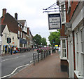
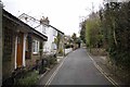
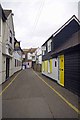
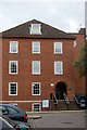
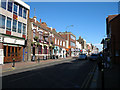

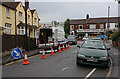
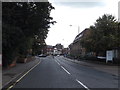
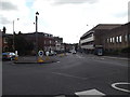
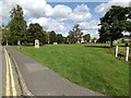
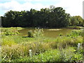
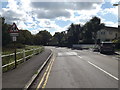
100 photos from this area
Area Information
Key information about the CM14 4XQ including its size, population, and administrative classification.
- Area Type
- Postcode
- Area Size
- 5197 m²
- Population
- 2183
- Population Density
- 4067 people/km²
House Prices in CM14 4XQ
29
Properties
£291,153
Average Sold Price
£58,000
Lowest Price
£424,000
Highest Price
Showing 29 properties
| Address | Type | Beds | Baths | Last Sale Price | Last Sale Date | |
|---|---|---|---|---|---|---|
| 31 North Road Avenue, Brentwood, CM14 4XQ | Terraced | 2 | 1 | £402,500 | Oct 2025 | |
| 19 North Road Avenue, Brentwood, CM14 4XQ | Terraced | 2 | 1 | £424,000 | Jul 2025 | |
| 27 North Road Avenue, Brentwood, CM14 4XQ | house | - | - | £297,000 | Jul 2025 | |
| 7 North Road Avenue, Brentwood, CM14 4XQ | Terraced | 2 | 1 | £422,000 | Mar 2025 | |
| 45 North Road Avenue, Brentwood, CM14 4XQ | Terraced | 2 | 1 | £420,000 | Feb 2025 | |
| 29 North Road Avenue, Brentwood, CM14 4XQ | Terraced | 3 | 1 | £405,000 | Mar 2024 | |
| 39 North Road Avenue, Brentwood, CM14 4XQ | house | 3 | 1 | £364,000 | Jan 2023 | |
| 55 North Road Avenue, Brentwood, CM14 4XQ | Terraced | 3 | 1 | £412,000 | Dec 2022 | |
| 57 North Road Avenue, Brentwood, CM14 4XQ | Terraced | 2 | 1 | £375,000 | Nov 2021 | |
| 49 North Road Avenue, Brentwood, CM14 4XQ | Cottage | 3 | 1 | £345,000 | Mar 2021 |
Page 1 of 3
Energy Efficiency in CM14 4XQ
Amenities
Schools
| Rank | School | Type | Entry gender | Ages |
|---|
Explore more schools in this area
Go to Schools tabDemographics
Household Size
One person
most common
Accommodation Type
Houses
most common
Tenure
62
majority
Ethnic Group
White
most common
Religion
N/A
most common
Household Composition
N/A
most common
Age
47
median
Adults (30-64 years)
most common
Household Deprivation
N/A
with no deprivation
NS-SEC
45
in Lower managerial occupations
Explore more demographic insights in this area
Go to Demographics tabPlanning
Planning Constraints
- Flood RiskPremium
- Ramsar Wetland SitesPremium
- Area of Outstanding Natural BeautyPremium
- Protected Nature ReservePremium
- Protected WoodlandPremium