Area Overview for CM14 4XN
Photos of CM14 4XN
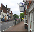
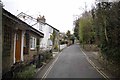
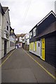
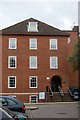
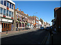
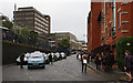
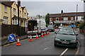
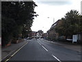
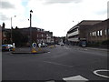
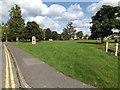
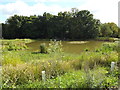
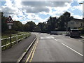
100 photos from this area
Area Information
Key information about the CM14 4XN including its size, population, and administrative classification.
- Area Type
- Postcode
- Area Size
- 1.9 hectares
- Population
- 2183
- Population Density
- 4067 people/km²
House Prices in CM14 4XN
34
Properties
£278,481
Average Sold Price
£85,995
Lowest Price
£475,000
Highest Price
Showing 34 properties
| Address | Type | Beds | Baths | Last Sale Price | Last Sale Date | |
|---|---|---|---|---|---|---|
| 79 North Road Avenue, Brentwood, CM14 4XN | Terraced | 2 | 1 | £360,000 | Jul 2025 | |
| 75 North Road Avenue, Brentwood, CM14 4XN | Terraced | 2 | 1 | £365,000 | Feb 2025 | |
| 59 North Road Avenue, Brentwood, CM14 4XN | Terraced | 2 | 1 | £335,000 | Dec 2024 | |
| 84 North Road Avenue, Brentwood, CM14 4XN | house | - | - | £325,000 | Oct 2024 | |
| 63 North Road Avenue, Brentwood, CM14 4XN | Terraced | 2 | 1 | £270,000 | Jun 2024 | |
| 60A North Road Avenue, Brentwood, CM14 4XN | Terraced | 2 | 1 | £437,500 | May 2024 | |
| 85 North Road Avenue, Brentwood, CM14 4XN | Terraced | 2 | 1 | £375,000 | Apr 2024 | |
| 67 North Road Avenue, Brentwood, CM14 4XN | Terraced | 2 | 1 | £387,000 | Dec 2022 | |
| 88 North Road Avenue, Brentwood, CM14 4XN | Terraced | 2 | 1 | £375,000 | Aug 2022 | |
| 60 North Road Avenue, Brentwood, CM14 4XN | Terraced | 2 | 1 | £380,000 | Jun 2021 |
Page 1 of 4
Energy Efficiency in CM14 4XN
Amenities
Schools
| Rank | School | Type | Entry gender | Ages |
|---|
Explore more schools in this area
Go to Schools tabDemographics
Household Size
One person
most common
Accommodation Type
Houses
most common
Tenure
62
majority
Ethnic Group
White
most common
Religion
N/A
most common
Household Composition
N/A
most common
Age
47
median
Adults (30-64 years)
most common
Household Deprivation
N/A
with no deprivation
NS-SEC
45
in Lower managerial occupations
Explore more demographic insights in this area
Go to Demographics tabPlanning
Planning Constraints
- Flood RiskPremium
- Ramsar Wetland SitesPremium
- Area of Outstanding Natural BeautyPremium
- Protected Nature ReservePremium
- Protected WoodlandPremium