Area Overview for CM14 4TJ
Photos of CM14 4TJ
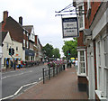
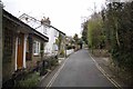
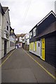
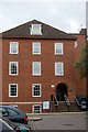
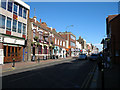

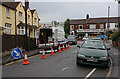
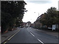
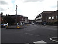
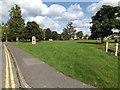
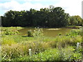
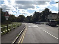
100 photos from this area
Area Information
Key information about the CM14 4TJ including its size, population, and administrative classification.
- Area Type
- Postcode
- Area Size
- 1.6 hectares
- Population
- 1649
- Population Density
- 6739 people/km²
House Prices in CM14 4TJ
30
Properties
£312,597
Average Sold Price
£30,000
Lowest Price
£595,000
Highest Price
Showing 30 properties
| Address | Type | Beds | Baths | Last Sale Price | Last Sale Date | |
|---|---|---|---|---|---|---|
| 15 Bardeswell Close, Brentwood, CM14 4TJ | Semi-detached | 4 | 2 | £30,000 | Jan 2025 | |
| 18 Bardeswell Close, Brentwood, CM14 4TJ | Semi-detached | 3 | 1 | £575,000 | Oct 2024 | |
| 23 Bardeswell Close, Brentwood, CM14 4TJ | Maisonette | 2 | 1 | £370,000 | Sep 2024 | |
| 27 Bardeswell Close, Brentwood, CM14 4TJ | Maisonette | 2 | 1 | £320,000 | Mar 2024 | |
| 2 Bardeswell Close, Brentwood, CM14 4TJ | house | - | - | £565,000 | Nov 2022 | |
| 26 Bardeswell Close, Brentwood, CM14 4TJ | Flat | - | - | £345,000 | Sep 2022 | |
| 22 Bardeswell Close, Brentwood, CM14 4TJ | Maisonette | 2 | 1 | £336,000 | Apr 2022 | |
| 17 Bardeswell Close, Brentwood, CM14 4TJ | Semi-detached | 3 | - | £450,000 | Jun 2021 | |
| 5 Bardeswell Close, Brentwood, CM14 4TJ | Semi-detached | 3 | 2 | £535,000 | Nov 2020 | |
| 10 Bardeswell Close, Brentwood, CM14 4TJ | house | - | - | £595,000 | Sep 2020 |
Page 1 of 3
Energy Efficiency in CM14 4TJ
Amenities
Schools
| Rank | School | Type | Entry gender | Ages |
|---|
Explore more schools in this area
Go to Schools tabDemographics
Household Size
Family (3-5 people)
most common
Accommodation Type
Houses
most common
Tenure
70
majority
Ethnic Group
White
most common
Religion
N/A
most common
Household Composition
N/A
most common
Age
47
median
Adults (30-64 years)
most common
Household Deprivation
N/A
with no deprivation
NS-SEC
45
in Lower managerial occupations
Explore more demographic insights in this area
Go to Demographics tabPlanning
Planning Constraints
- Flood RiskPremium
- Ramsar Wetland SitesPremium
- Area of Outstanding Natural BeautyPremium
- Protected Nature ReservePremium
- Protected WoodlandPremium