Area Overview for CM14 4SX
Photos of CM14 4SX
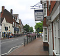
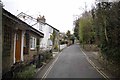
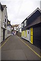
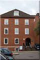
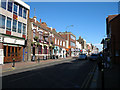


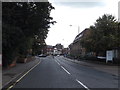
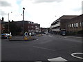
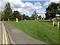
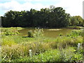
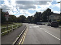
100 photos from this area
Area Information
Key information about the CM14 4SX including its size, population, and administrative classification.
- Area Type
- Postcode
- Area Size
- 8297 m²
- Population
- 1649
- Population Density
- 6739 people/km²
House Prices in CM14 4SX
41
Properties
£285,645
Average Sold Price
£55,500
Lowest Price
£700,000
Highest Price
Showing 41 properties
| Address | Type | Beds | Baths | Last Sale Price | Last Sale Date | |
|---|---|---|---|---|---|---|
| 26 Weald Road, Brentwood, CM14 4SX | Terraced | 2 | 1 | £390,250 | Feb 2025 | |
| 22 Weald Road, Brentwood, CM14 4SX | house | 2 | 2 | £420,000 | Nov 2024 | |
| 16 Weald Road, Brentwood, CM14 4SX | Terraced | 2 | 1 | £357,000 | May 2024 | |
| 2, The Apartments, Weald Road, Brentwood, CM14 4SX | Flat | 1 | 1 | £213,500 | Oct 2022 | |
| 20 Weald Road, Brentwood, CM14 4SX | house | 2 | - | £389,000 | Jan 2022 | |
| 1, The Apartments, Weald Road, Brentwood, CM14 4SX | Flat | - | - | £195,500 | Sep 2021 | |
| 19 Weald Road, Brentwood, CM14 4SX | house | - | - | £700,000 | Jun 2021 | |
| 18 Weald Road, Brentwood, CM14 4SX | Terraced | 2 | 1 | £380,000 | Jun 2021 | |
| 28 Weald Road, Brentwood, CM14 4SX | Terraced | 2 | 1 | £325,000 | Dec 2019 | |
| 12 Weald Road, Brentwood, CM14 4SX | Terraced | 2 | 1 | £305,000 | Nov 2015 |
Page 1 of 5
Energy Efficiency in CM14 4SX
Amenities
Schools
| Rank | School | Type | Entry gender | Ages |
|---|
Explore more schools in this area
Go to Schools tabDemographics
Household Size
Family (3-5 people)
most common
Accommodation Type
Houses
most common
Tenure
70
majority
Ethnic Group
White
most common
Religion
N/A
most common
Household Composition
N/A
most common
Age
47
median
Adults (30-64 years)
most common
Household Deprivation
N/A
with no deprivation
NS-SEC
45
in Lower managerial occupations
Explore more demographic insights in this area
Go to Demographics tabPlanning
Planning Constraints
- Flood RiskPremium
- Ramsar Wetland SitesPremium
- Area of Outstanding Natural BeautyPremium
- Protected Nature ReservePremium
- Protected WoodlandPremium