Area Overview for CB9 8QN
Photos of CB9 8QN
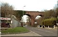
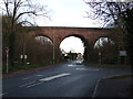
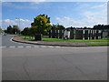
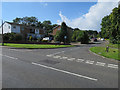


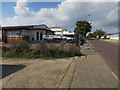
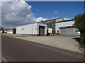
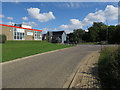
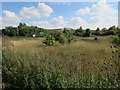
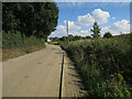
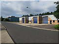
53 photos from this area
Area Information
Key information about the CB9 8QN including its size, population, and administrative classification.
- Area Type
- Postcode
- Area Size
- 2.0 hectares
- Population
- 1784
- Population Density
- 5617 people/km²
House Prices in CB9 8QN
47
Properties
£183,112
Average Sold Price
£96,995
Lowest Price
£380,000
Highest Price
Showing 47 properties
| Address | Type | Beds | Baths | Last Sale Price | Last Sale Date | |
|---|---|---|---|---|---|---|
| 4 Manor Farm Close, Haverhill, CB9 8QN | Detached | 4 | 2 | £378,000 | Feb 2025 | |
| 33 Manor Farm Close, Haverhill, CB9 8QN | Flat | - | - | £163,000 | Jan 2025 | |
| 16 Manor Farm Close, Haverhill, CB9 8QN | Semi-detached | 4 | 3 | £340,000 | May 2024 | |
| 3 Manor Farm Close, Haverhill, CB9 8QN | Detached | 5 | 2 | £380,000 | May 2022 | |
| 23 Manor Farm Close, Haverhill, CB9 8QN | Flat | - | - | £187,500 | May 2022 | |
| 13 Manor Farm Close, Haverhill, CB9 8QN | house | - | - | £258,000 | Dec 2021 | |
| 32 Manor Farm Close, Haverhill, CB9 8QN | Flat | 2 | 2 | £165,000 | Oct 2020 | |
| 26 Manor Farm Close, Haverhill, CB9 8QN | Flat | 2 | 2 | £165,000 | Aug 2020 | |
| 8 Manor Farm Close, Haverhill, CB9 8QN | Semi-detached | 2 | 1 | £225,000 | Jul 2019 | |
| 44 Manor Farm Close, Haverhill, CB9 8QN | Maisonette | - | - | £184,000 | Apr 2019 |
Page 1 of 5
Energy Efficiency in CB9 8QN
Amenities
Schools
| Rank | School | Type | Entry gender | Ages |
|---|
Explore more schools in this area
Go to Schools tabDemographics
Household Size
One person
most common
Accommodation Type
Houses
most common
Tenure
54
majority
Ethnic Group
White
most common
Religion
N/A
most common
Household Composition
N/A
most common
Age
47
median
Adults (30-64 years)
most common
Household Deprivation
N/A
with no deprivation
NS-SEC
26
in Lower managerial occupations
Explore more demographic insights in this area
Go to Demographics tabPlanning
Planning Constraints
- Flood RiskPremium
- Ramsar Wetland SitesPremium
- Area of Outstanding Natural BeautyPremium
- Protected Nature ReservePremium
- Protected WoodlandPremium