Area Overview for CB9 8QA
Photos of CB9 8QA
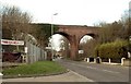
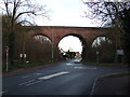
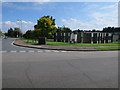
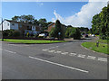


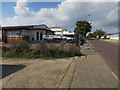

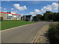
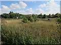
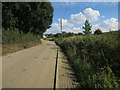

53 photos from this area
Area Information
Key information about the CB9 8QA including its size, population, and administrative classification.
- Area Type
- Postcode
- Area Size
- 5.6 hectares
- Population
- 2309
- Population Density
- 1765 people/km²
House Prices in CB9 8QA
19
Properties
£233,500
Average Sold Price
£42,500
Lowest Price
£490,000
Highest Price
Showing 19 properties
| Address | Type | Beds | Baths | Last Sale Price | Last Sale Date | |
|---|---|---|---|---|---|---|
| 35 Bumpstead Road, Haverhill, CB9 8QA | house | - | - | £265,000 | Apr 2022 | |
| 5 Bumpstead Road, Haverhill, CB9 8QA | house | 2 | - | £185,000 | Oct 2021 | |
| 31 Bumpstead Road, Haverhill, CB9 8QA | Semi-detached | 3 | 1 | £260,000 | Sep 2021 | |
| 7 Bumpstead Road, Haverhill, CB9 8QA | Terraced | 3 | 1 | £162,500 | Dec 2019 | |
| 3 Bumpstead Road, Haverhill, CB9 8QA | Terraced | 2 | 1 | £187,500 | May 2018 | |
| Flint Cottage, 21 Bumpstead Road, Haverhill, CB9 8QA | Detached | 3 | 1 | £400,000 | Nov 2016 | |
| 11 Bumpstead Road, Haverhill, CB9 8QA | Semi-detached | 3 | 1 | £158,000 | Mar 2015 | |
| Rivington Bungalow, 23 Bumpstead Road, Haverhill, CB9 8QA | Bungalow | 3 | - | £285,000 | Jul 2014 | |
| Rivendell, 17 Bumpstead Road, Haverhill, CB9 8QA | Semi-detached | 3 | - | £250,000 | Mar 2013 | |
| Thistledown, 25 Bumpstead Road, Haverhill, CB9 8QA | house | 3 | - | £490,000 | Apr 2012 |
Page 1 of 2
Energy Efficiency in CB9 8QA
Amenities
Schools
| Rank | School | Type | Entry gender | Ages |
|---|
Explore more schools in this area
Go to Schools tabDemographics
Household Size
Family (3-5 people)
most common
Accommodation Type
Houses
most common
Tenure
50
majority
Ethnic Group
White
most common
Religion
N/A
most common
Household Composition
N/A
most common
Age
47
median
Adults (30-64 years)
most common
Household Deprivation
N/A
with no deprivation
NS-SEC
24
in Lower managerial occupations
Explore more demographic insights in this area
Go to Demographics tabPlanning
Planning Constraints
- Flood RiskPremium
- Ramsar Wetland SitesPremium
- Area of Outstanding Natural BeautyPremium
- Protected Nature ReservePremium
- Protected WoodlandPremium