Area Overview for CB9 7AA
Photos of CB9 7AA


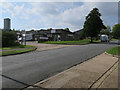
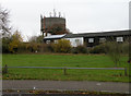
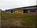
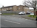
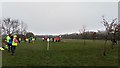
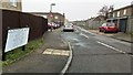
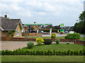
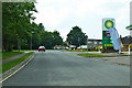
22 photos from this area
Area Information
Key information about the CB9 7AA including its size, population, and administrative classification.
- Area Type
- Postcode
- Area Size
- 77.0 hectares
- Population
- 2305
- Population Density
- 1044 people/km²
House Prices in CB9 7AA
21
Properties
£446,667
Average Sold Price
£90,000
Lowest Price
£685,000
Highest Price
Showing 21 properties
| Address | Type | Beds | Baths | Last Sale Price | Last Sale Date | |
|---|---|---|---|---|---|---|
| Rezzek Barn, Helions Bumpstead Road, Haverhill, CB9 7AA | Detached | 4 | 3 | £565,000 | Dec 2020 | |
| Warren Barn, Helions Bumpstead Road, Haverhill, CB9 7AA | Detached | 6 | 4 | £685,000 | Jan 2010 | |
| Foxhollow, Helions Bumpstead Road, Haverhill, CB9 7AA | Bungalow | - | - | £90,000 | Feb 2000 | |
| Factory, Helions Bumpstead Road, Haverhill, CB9 7AA | Industrial | - | - | - | - | |
| The Swallows Residential Home, Helions Bumpstead Road, Haverhill, CB9 7AA | Retirement | - | - | - | - | |
| Asco Butchers Sundries Ltd, Asco House, Helions Bumpstead Road, Haverhill, CB9 7AA | Industrial | - | - | - | - | |
| Associated Casing Co Ltd, Asco House, Helions Bumpstead Road, Haverhill, CB9 7AA | Industrial | - | - | - | - | |
| Tank Storage Amd Services Ltd, Unit 2 To 3, Moonhall Business Park, Helions Bumpstead Road, Haverhill, CB9 7AA | Industrial | - | - | - | - | |
| Annexe, Warren Barn, Helions Bumpstead Road, Haverhill, CB9 7AA | house | - | - | - | - | |
| Moon Hall Barn, Helions Bumpstead Road, Haverhill, CB9 7AA | Semi-detached | - | - | - | - |
Page 1 of 3
Energy Efficiency in CB9 7AA
Amenities
Schools
| Rank | School | Type | Entry gender | Ages |
|---|
Explore more schools in this area
Go to Schools tabDemographics
Household Size
Family (3-5 people)
most common
Accommodation Type
Houses
most common
Tenure
45
majority
Ethnic Group
White
most common
Religion
N/A
most common
Household Composition
N/A
most common
Age
47
median
Adults (30-64 years)
most common
Household Deprivation
N/A
with no deprivation
NS-SEC
26
in Lower managerial occupations
Explore more demographic insights in this area
Go to Demographics tabPlanning
Planning Constraints
- Flood RiskPremium
- Ramsar Wetland SitesPremium
- Area of Outstanding Natural BeautyPremium
- Protected Nature ReservePremium
- Protected WoodlandPremium