Area Overview for CB9 7QQ
Photos of CB9 7QQ
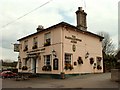
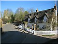
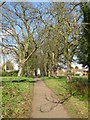
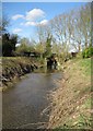
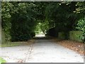
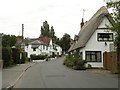
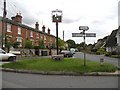
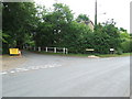
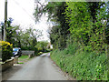
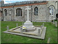
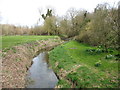
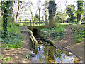
68 photos from this area
Area Information
Key information about the CB9 7QQ including its size, population, and administrative classification.
- Area Type
- Postcode
- Area Size
- 15.9 hectares
- Population
- 2215
- Population Density
- 152 people/km²
House Prices in CB9 7QQ
11
Properties
£282,500
Average Sold Price
£255,000
Lowest Price
£310,000
Highest Price
Showing 11 properties
| Address | Type | Beds | Baths | Last Sale Price | Last Sale Date | |
|---|---|---|---|---|---|---|
| The Yard Arm, 1 Arms Lane, Kedington, CB9 7QQ | Semi-detached | 3 | 1 | £255,000 | Oct 2021 | |
| Ketton Thatch, Arms Lane, Kedington, CB9 7QQ | Cottage | 2 | - | £310,000 | Oct 2014 | |
| Meadowside, Arms Lane, Kedington, CB9 7QQ | Semi-detached | - | - | - | - | |
| Meadowview, Arms Lane, Kedington, CB9 7QQ | Semi-detached | - | - | - | - | |
| The Meadows, Arms Lane, Kedington, CB9 7QQ | Detached | - | - | - | - | |
| Former Meadowcroft, Arms Lane, Kedington, CB9 7QQ | Detached | - | - | - | - | |
| Meadowcroft, Arms Lane, Kedington, CB9 7QQ | Detached | - | - | - | - | |
| Sewage Works, Arms Lane, Kedington, CB9 7QQ | Industrial | - | - | - | - | |
| Kedington Parish Council, Office, Community Centre, Arms Lane, Kedington, CB9 7QQ | Office | - | - | - | - | |
| Wayside, Arms Lane, Kedington, CB9 7QQ | Detached | - | - | - | - |
Page 1 of 2
Energy Efficiency in CB9 7QQ
Amenities
Schools
| Rank | School | Type | Entry gender | Ages |
|---|
Explore more schools in this area
Go to Schools tabDemographics
Household Size
Two person
most common
Accommodation Type
Houses
most common
Tenure
82
majority
Ethnic Group
White
most common
Religion
N/A
most common
Household Composition
N/A
most common
Age
47
median
Adults (30-64 years)
most common
Household Deprivation
N/A
with no deprivation
NS-SEC
35
in Lower managerial occupations
Explore more demographic insights in this area
Go to Demographics tabPlanning
Planning Constraints
- Flood RiskPremium
- Ramsar Wetland SitesPremium
- Area of Outstanding Natural BeautyPremium
- Protected Nature ReservePremium
- Protected WoodlandPremium