Area Overview for CB9 7NA
Photos of CB9 7NA
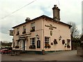
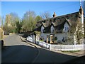
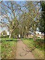
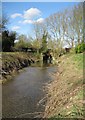
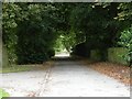
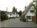
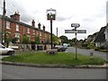
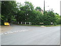
68 photos from this area
Area Information
Key information about the CB9 7NA including its size, population, and administrative classification.
- Area Type
- Postcode
- Area Size
- 6.0 hectares
- Population
- 2215
- Population Density
- 152 people/km²
House Prices in CB9 7NA
19
Properties
£242,875
Average Sold Price
£31,000
Lowest Price
£308,000
Highest Price
Showing 19 properties
| Address | Type | Beds | Baths | Last Sale Price | Last Sale Date | |
|---|---|---|---|---|---|---|
| 6 Kings Hill, Kedington, CB9 7NA | house | 3 | 1 | £275,000 | Sep 2021 | |
| 5 Kings Hill, Kedington, CB9 7NA | house | 3 | 1 | £223,500 | Sep 2021 | |
| 3 Kings Hill, Kedington, CB9 7NA | Semi-detached | 3 | - | £280,000 | Jun 2019 | |
| 4 Kings Hill, Kedington, CB9 7NA | Semi-detached | 3 | 2 | £265,500 | Aug 2017 | |
| Boltons, Kings Hill, Kedington, CB9 7NA | house | 4 | - | £308,000 | Jun 2012 | |
| Burford House, Kings Hill, Kedington, CB9 7NA | house | - | - | £265,000 | May 2010 | |
| Ketton Hall, Kings Hill, Kedington, CB9 7NA | Detached | - | - | £295,000 | Nov 2002 | |
| 7 Kings Hill, Kedington, CB9 7NA | house | - | - | £31,000 | Apr 2000 | |
| 1 Kings Hill, Kedington, CB9 7NA | Semi-detached | 4 | 2 | - | - | |
| The Old Bakery, Kings Hill, Kedington, CB9 7NA | Detached | 6 | 3 | - | - |
Page 1 of 2
Energy Efficiency in CB9 7NA
Amenities
Schools
| Rank | School | Type | Entry gender | Ages |
|---|
Explore more schools in this area
Go to Schools tabDemographics
Household Size
Two person
most common
Accommodation Type
Houses
most common
Tenure
82
majority
Ethnic Group
White
most common
Religion
N/A
most common
Household Composition
N/A
most common
Age
47
median
Adults (30-64 years)
most common
Household Deprivation
N/A
with no deprivation
NS-SEC
35
in Lower managerial occupations
Explore more demographic insights in this area
Go to Demographics tabPlanning
Planning Constraints
- Flood RiskPremium
- Ramsar Wetland SitesPremium
- Area of Outstanding Natural BeautyPremium
- Protected Nature ReservePremium
- Protected WoodlandPremium