Area Overview for CB8 8SF
Photos of CB8 8SF
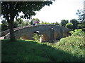
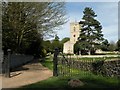
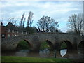
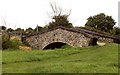
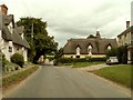
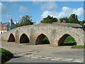
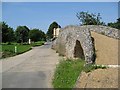
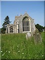
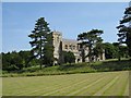
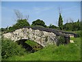
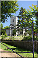
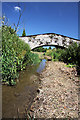
100 photos from this area
Area Information
Key information about the CB8 8SF including its size, population, and administrative classification.
- Area Type
- Postcode
- Area Size
- 1.1 hectares
- Population
- 2252
- Population Density
- 91 people/km²
House Prices in CB8 8SF
22
Properties
£288,900
Average Sold Price
£89,000
Lowest Price
£672,500
Highest Price
Showing 22 properties
| Address | Type | Beds | Baths | Last Sale Price | Last Sale Date | |
|---|---|---|---|---|---|---|
| 12A Church Road, Moulton, CB8 8SF | Bungalow | 1 | 1 | £230,000 | Nov 2025 | |
| 8B Church Road, Moulton, CB8 8SF | Detached | 3 | 2 | £672,500 | Jul 2025 | |
| 22 Church Road, Moulton, CB8 8SF | Chalet | 3 | 2 | £325,000 | Jun 2022 | |
| 28 Church Road, Moulton, CB8 8SF | Bungalow | 2 | 1 | £202,000 | Sep 2019 | |
| 8A Church Road, Moulton, CB8 8SF | Bungalow | 3 | - | £525,000 | Nov 2015 | |
| Kingfisher Cottage, 16 Church Road, Moulton, CB8 8SF | Cottage | 2 | 1 | £198,000 | Aug 2014 | |
| 32 Church Road, Moulton, CB8 8SF | Bungalow | 3 | - | £229,995 | Sep 2013 | |
| 26 Church Road, Moulton, CB8 8SF | Semi-detached | - | - | £150,000 | Jan 2004 | |
| Crooked Cottage, 14 Church Road, Moulton, CB8 8SF | Detached | - | - | £267,500 | Apr 2003 | |
| 30 Church Road, Moulton, CB8 8SF | Semi-detached | - | - | £89,000 | Feb 2001 |
Page 1 of 3
Energy Efficiency in CB8 8SF
Amenities
Schools
| Rank | School | Type | Entry gender | Ages |
|---|
Explore more schools in this area
Go to Schools tabDemographics
Household Size
Two person
most common
Accommodation Type
Houses
most common
Tenure
75
majority
Ethnic Group
White
most common
Religion
N/A
most common
Household Composition
N/A
most common
Age
47
median
Adults (30-64 years)
most common
Household Deprivation
N/A
with no deprivation
NS-SEC
45
in Lower managerial occupations
Explore more demographic insights in this area
Go to Demographics tabPlanning
Planning Constraints
- Flood RiskPremium
- Ramsar Wetland SitesPremium
- Area of Outstanding Natural BeautyPremium
- Protected Nature ReservePremium
- Protected WoodlandPremium