Area Overview for CB7 4TA
Photos of CB7 4TA
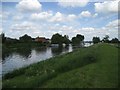
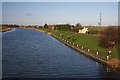
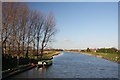
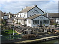
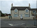
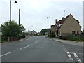
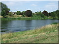
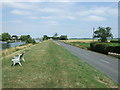
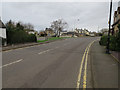
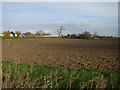
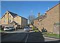
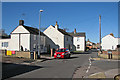
51 photos from this area
Area Information
Key information about the CB7 4TA including its size, population, and administrative classification.
- Area Type
- Postcode
- Area Size
- 1.1 km²
- Population
- 2286
- Population Density
- 238 people/km²
House Prices in CB7 4TA
77
Properties
£301,850
Average Sold Price
£91,500
Lowest Price
£800,000
Highest Price
Showing 77 properties
| Address | Type | Beds | Baths | Last Sale Price | Last Sale Date | |
|---|---|---|---|---|---|---|
| 1 New River Bank, Littleport, CB7 4TA | Mobile Home | 2 | 2 | £295,000 | Nov 2024 | |
| Herons Haunt, 13A New River Bank, Littleport, CB7 4TA | Bungalow | - | - | £800,000 | Nov 2021 | |
| Ash Cottage, 21A New River Bank, Littleport, CB7 4TA | Detached | - | - | £269,000 | Apr 2020 | |
| 22 New River Bank, Littleport, CB7 4TA | Bungalow | 2 | 2 | £285,000 | Oct 2019 | |
| 7 New River Bank, Littleport, CB7 4TA | Semi-detached | 2 | 1 | £183,000 | Feb 2017 | |
| 9 New River Bank, Littleport, CB7 4TA | house | 5 | 1 | £434,999 | Dec 2010 | |
| River View, 6 New River Bank, Littleport, CB7 4TA | Mobile Home | 2 | 1 | £220,000 | Sep 2005 | |
| 14 New River Bank, Littleport, CB7 4TA | Mobile Home | 2 | 2 | £220,000 | Feb 2002 | |
| 13 New River Bank, Littleport, CB7 4TA | Detached | - | - | £220,000 | Jan 2002 | |
| 16 New River Bank, Littleport, CB7 4TA | Detached | 2 | 1 | £91,500 | Dec 1999 |
Page 1 of 8
Energy Efficiency in CB7 4TA
Amenities
Schools
| Rank | School | Type | Entry gender | Ages |
|---|
Explore more schools in this area
Go to Schools tabDemographics
Household Size
Two person
most common
Accommodation Type
Houses
most common
Tenure
73
majority
Ethnic Group
White
most common
Religion
N/A
most common
Household Composition
N/A
most common
Age
47
median
Adults (30-64 years)
most common
Household Deprivation
N/A
with no deprivation
NS-SEC
32
in Lower managerial occupations
Explore more demographic insights in this area
Go to Demographics tabPlanning
Planning Constraints
- Flood RiskPremium
- Ramsar Wetland SitesPremium
- Area of Outstanding Natural BeautyPremium
- Protected Nature ReservePremium
- Protected WoodlandPremium