Area Overview for CB6 3LA
Photos of CB6 3LA

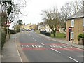
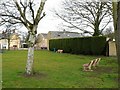
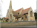
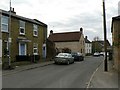


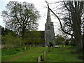
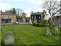
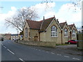


63 photos from this area
Area Information
Key information about the CB6 3LA including its size, population, and administrative classification.
- Area Type
- Postcode
- Area Size
- 7015 m²
- Population
- 2450
- Population Density
- 134 people/km²
House Prices in CB6 3LA
19
Properties
£221,429
Average Sold Price
£72,000
Lowest Price
£535,000
Highest Price
Showing 19 properties
| Address | Type | Beds | Baths | Last Sale Price | Last Sale Date | |
|---|---|---|---|---|---|---|
| 10 Pump Lane, Stretham, CB6 3LA | Terraced | 1 | 1 | £164,000 | Jul 2025 | |
| 1B Pump Lane, Stretham, CB6 3LA | Detached | 4 | 2 | £535,000 | Apr 2024 | |
| 1 Pump Lane, Stretham, CB6 3LA | house | 2 | - | £380,000 | Jun 2021 | |
| 4 Pump Lane, Stretham, CB6 3LA | house | 2 | 1 | £160,000 | Jul 2020 | |
| 30 Pump Lane, Stretham, CB6 3LA | Detached | 3 | 2 | £340,000 | Oct 2019 | |
| 8 Pump Lane, Stretham, CB6 3LA | Terraced | 1 | 1 | £140,000 | Jan 2019 | |
| 12 Pump Lane, Stretham, CB6 3LA | Bungalow | 3 | 1 | £295,000 | Apr 2018 | |
| 24 Pump Lane, Stretham, CB6 3LA | Flat | - | - | £102,000 | Apr 2016 | |
| 6 Pump Lane, Stretham, CB6 3LA | Terraced | 1 | 1 | £110,500 | Jun 2014 | |
| 18 Pump Lane, Stretham, CB6 3LA | house | - | - | £436,000 | May 2011 |
Page 1 of 2
Energy Efficiency in CB6 3LA
Amenities
Schools
| Rank | School | Type | Entry gender | Ages |
|---|
Explore more schools in this area
Go to Schools tabDemographics
Household Size
Two person
most common
Accommodation Type
Houses
most common
Tenure
78
majority
Ethnic Group
White
most common
Religion
N/A
most common
Household Composition
N/A
most common
Age
47
median
Adults (30-64 years)
most common
Household Deprivation
N/A
with no deprivation
NS-SEC
39
in Lower managerial occupations
Explore more demographic insights in this area
Go to Demographics tabPlanning
Planning Constraints
- Flood RiskPremium
- Ramsar Wetland SitesPremium
- Area of Outstanding Natural BeautyPremium
- Protected Nature ReservePremium
- Protected WoodlandPremium