Area Overview for CB6 3EN
Photos of CB6 3EN
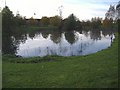
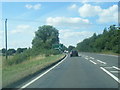
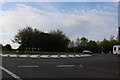
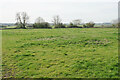
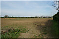
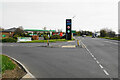

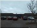
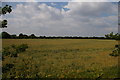
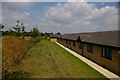
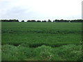
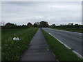
23 photos from this area
Area Information
Key information about the CB6 3EN including its size, population, and administrative classification.
- Area Type
- Postcode
- Area Size
- 1.9 hectares
- Population
- 2405
- Population Density
- 501 people/km²
House Prices in CB6 3EN
6
Properties
£307,333
Average Sold Price
£104,000
Lowest Price
£575,000
Highest Price
Showing 6 properties
| Address | Type | Beds | Baths | Last Sale Price | Last Sale Date | |
|---|---|---|---|---|---|---|
| 4 Warwick Drive, Ely, CB6 3EN | Detached | 5 | 2 | £575,000 | May 2023 | |
| 5 Warwick Drive, Ely, CB6 3EN | Detached | 4 | 2 | £370,000 | Jul 2016 | |
| 1 Warwick Drive, Ely, CB6 3EN | Detached | 4 | - | £307,000 | Dec 2014 | |
| 2 Warwick Drive, Ely, CB6 3EN | house | 4 | - | £250,000 | Oct 2012 | |
| 3 Warwick Drive, Ely, CB6 3EN | Detached | - | - | £238,000 | Jun 2006 | |
| 7 Warwick Drive, Ely, CB6 3EN | house | - | - | £104,000 | Mar 1995 |
Energy Efficiency in CB6 3EN
Amenities
Schools
| Rank | School | Type | Entry gender | Ages |
|---|
Explore more schools in this area
Go to Schools tabDemographics
Household Size
Two person
most common
Accommodation Type
Houses
most common
Tenure
69
majority
Ethnic Group
White
most common
Religion
N/A
most common
Household Composition
N/A
most common
Age
47
median
Adults (30-64 years)
most common
Household Deprivation
N/A
with no deprivation
NS-SEC
46
in Lower managerial occupations
Explore more demographic insights in this area
Go to Demographics tabPlanning
Planning Constraints
- Flood RiskPremium
- Ramsar Wetland SitesPremium
- Area of Outstanding Natural BeautyPremium
- Protected Nature ReservePremium
- Protected WoodlandPremium