Area Overview for CB6 3FQ
Photos of CB6 3FQ
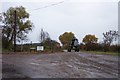
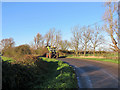
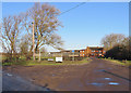
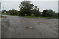
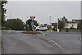
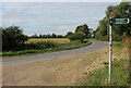
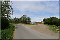
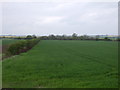
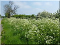
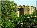
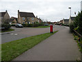
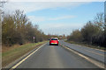
31 photos from this area
Area Information
Key information about the CB6 3FQ including its size, population, and administrative classification.
- Area Type
- Postcode
- Area Size
- 69.9 hectares
- Population
- 2405
- Population Density
- 501 people/km²
House Prices in CB6 3FQ
90
Properties
£162,362
Average Sold Price
£45,000
Lowest Price
£302,500
Highest Price
Showing 90 properties
| Address | Type | Beds | Baths | Last Sale Price | Last Sale Date | |
|---|---|---|---|---|---|---|
| 112 Morley Drive, Ely, CB6 3FQ | Flat | - | - | £187,500 | Aug 2022 | |
| 12 Morley Drive, Ely, CB6 3FQ | house | 3 | 2 | £302,500 | Sep 2021 | |
| 18 Morley Drive, Ely, CB6 3FQ | Terraced | 3 | 2 | £292,500 | Jun 2021 | |
| 118 Morley Drive, Ely, CB6 3FQ | Flat | - | - | £75,000 | Sep 2019 | |
| 88 Morley Drive, Ely, CB6 3FQ | house | 3 | 2 | £264,000 | Oct 2017 | |
| 90 Morley Drive, Ely, CB6 3FQ | house | - | - | £287,500 | Apr 2017 | |
| 102 Morley Drive, Ely, CB6 3FQ | Flat | - | - | £164,950 | Aug 2016 | |
| 17 Morley Drive, Ely, CB6 3FQ | Flat | - | - | £121,000 | Dec 2014 | |
| 116 Morley Drive, Ely, CB6 3FQ | Flat | - | - | £52,000 | Nov 2014 | |
| 96 Morley Drive, Ely, CB6 3FQ | house | - | - | £45,000 | Aug 2011 |
Page 1 of 9
Energy Efficiency in CB6 3FQ
Amenities
Schools
| Rank | School | Type | Entry gender | Ages |
|---|
Explore more schools in this area
Go to Schools tabDemographics
Household Size
Two person
most common
Accommodation Type
Houses
most common
Tenure
69
majority
Ethnic Group
White
most common
Religion
N/A
most common
Household Composition
N/A
most common
Age
47
median
Adults (30-64 years)
most common
Household Deprivation
N/A
with no deprivation
NS-SEC
46
in Lower managerial occupations
Explore more demographic insights in this area
Go to Demographics tabPlanning
Planning Constraints
- Flood RiskPremium
- Ramsar Wetland SitesPremium
- Area of Outstanding Natural BeautyPremium
- Protected Nature ReservePremium
- Protected WoodlandPremium