Area Overview for CB6 2LF
Photos of CB6 2LF
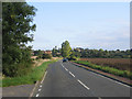
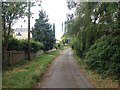
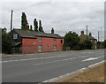
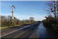
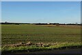
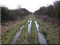
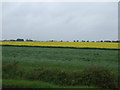
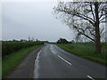
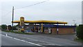
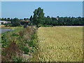
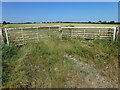
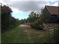
20 photos from this area
Area Information
Key information about the CB6 2LF including its size, population, and administrative classification.
- Area Type
- Postcode
- Area Size
- 14.7 hectares
- Population
- 1417
- Population Density
- 79 people/km²
House Prices in CB6 2LF
43
Properties
£329,837
Average Sold Price
£59,995
Lowest Price
£810,000
Highest Price
Showing 43 properties
| Address | Type | Beds | Baths | Last Sale Price | Last Sale Date | |
|---|---|---|---|---|---|---|
| 38 Silver Street, Witcham, CB6 2LF | Detached | 4 | 2 | £465,000 | Aug 2025 | |
| Chapel Barn, 6A Silver Street, Witcham, CB6 2LF | house | 5 | 4 | £810,000 | Aug 2025 | |
| The Laurels, 34 Silver Street, Witcham, CB6 2LF | Detached | 4 | 2 | £480,000 | Mar 2025 | |
| 36 Silver Street, Witcham, CB6 2LF | Detached | 4 | 2 | £430,000 | Dec 2023 | |
| 33 Silver Street, Witcham, CB6 2LF | Detached | 3 | 1 | £300,000 | May 2023 | |
| 4 Silver Street, Witcham, CB6 2LF | Detached | 5 | - | £570,000 | Jun 2022 | |
| 24 Silver Street, Witcham, CB6 2LF | house | - | - | £192,000 | Mar 2022 | |
| Yew Tree House, 2 Silver Street, Witcham, CB6 2LF | Detached | 6 | - | £805,000 | Feb 2022 | |
| 1 Silver Street, Witcham, CB6 2LF | Detached | 4 | - | £450,000 | Jun 2021 | |
| The Retreat, 46 Silver Street, Witcham, CB6 2LF | Bungalow | 3 | 2 | £265,000 | Nov 2018 |
Page 1 of 5
Energy Efficiency in CB6 2LF
Amenities
Schools
| Rank | School | Type | Entry gender | Ages |
|---|
Explore more schools in this area
Go to Schools tabDemographics
Household Size
Two person
most common
Accommodation Type
Houses
most common
Tenure
80
majority
Ethnic Group
White
most common
Religion
N/A
most common
Household Composition
N/A
most common
Age
47
median
Adults (30-64 years)
most common
Household Deprivation
N/A
with no deprivation
NS-SEC
35
in Lower managerial occupations
Explore more demographic insights in this area
Go to Demographics tabPlanning
Planning Constraints
- Flood RiskPremium
- Ramsar Wetland SitesPremium
- Area of Outstanding Natural BeautyPremium
- Protected Nature ReservePremium
- Protected WoodlandPremium