Area Overview for CB6 2AA
Photos of CB6 2AA
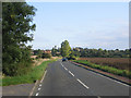
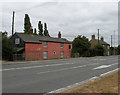
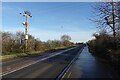
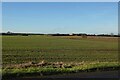
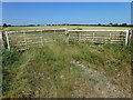
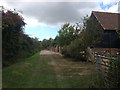
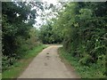
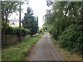
20 photos from this area
Area Information
Key information about the CB6 2AA including its size, population, and administrative classification.
- Area Type
- Postcode
- Area Size
- 1.4 km²
- Population
- 1581
- Population Density
- 113 people/km²
House Prices in CB6 2AA
11
Properties
£268,100
Average Sold Price
£148,000
Lowest Price
£440,000
Highest Price
Showing 11 properties
| Address | Type | Beds | Baths | Last Sale Price | Last Sale Date | |
|---|---|---|---|---|---|---|
| Rivendell, Ely Road, Wentworth, CB6 2AA | Bungalow | 4 | 2 | £367,500 | Mar 2025 | |
| Bluebells, Ely Road, Wentworth, CB6 2AA | Bungalow | 4 | 2 | £440,000 | Sep 2024 | |
| Windyridge, Ely Road, Wentworth, CB6 2AA | Bungalow | - | - | £200,000 | Jul 2018 | |
| Two Jays, Ely Road, Wentworth, CB6 2AA | Detached | 3 | 1 | £185,000 | May 2007 | |
| Denbigh House, Ely Road, Wentworth, CB6 2AA | Detached | - | - | £148,000 | Nov 1998 | |
| Naturally Yours, Horse And Gate, Ely Road, Wentworth, CB6 2AA | Detached | 5 | 3 | - | - | |
| Corner Bays, Ely Road, Wentworth, CB6 2AA | Detached | 3 | 1 | - | - | |
| Cornet, Ely Road, Wentworth, CB6 2AA | Land | - | - | - | - | |
| Agricultural Building West Of Horse And Gate, Ely Road, Wentworth, CB6 2AA | Farm | - | - | - | - | |
| The Bungalow, 3 Ely Road, Wentworth, CB6 2AA | Detached | - | - | - | - |
Page 1 of 2
Energy Efficiency in CB6 2AA
Amenities
Schools
| Rank | School | Type | Entry gender | Ages |
|---|
Explore more schools in this area
Go to Schools tabDemographics
Household Size
Two person
most common
Accommodation Type
Houses
most common
Tenure
83
majority
Ethnic Group
White
most common
Religion
N/A
most common
Household Composition
N/A
most common
Age
47
median
Adults (30-64 years)
most common
Household Deprivation
N/A
with no deprivation
NS-SEC
40
in Lower managerial occupations
Explore more demographic insights in this area
Go to Demographics tabPlanning
Planning Constraints
- Flood RiskPremium
- Ramsar Wetland SitesPremium
- Area of Outstanding Natural BeautyPremium
- Protected Nature ReservePremium
- Protected WoodlandPremium