Area Overview for CB6 2DT
Photos of CB6 2DT
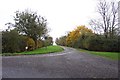
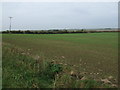
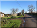
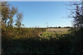
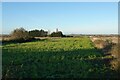
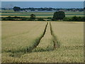
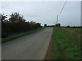
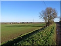
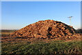
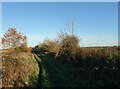
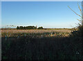
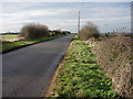
15 photos from this area
Area Information
Key information about the CB6 2DT including its size, population, and administrative classification.
- Area Type
- Postcode
- Area Size
- 1.9 km²
- Population
- 1561
- Population Density
- 29 people/km²
House Prices in CB6 2DT
14
Properties
£261,250
Average Sold Price
£30,000
Lowest Price
£645,000
Highest Price
Showing 14 properties
| Address | Type | Beds | Baths | Last Sale Price | Last Sale Date | |
|---|---|---|---|---|---|---|
| Caraby, The Hythe, Little Downham, CB6 2DT | Detached | - | - | £120,000 | Oct 2021 | |
| Hythe Barn, The Hythe, Little Downham, CB6 2DT | house | 3 | - | £645,000 | Sep 2013 | |
| Hythe Farm, The Hythe, Little Downham, CB6 2DT | Detached | - | - | £250,000 | Jan 2004 | |
| Hollyoaks, The Hythe, Little Downham, CB6 2DT | house | - | - | £30,000 | Oct 1996 | |
| Annexe, Otterbush Farm, The Hythe, Little Downham, CB6 2DT | Flat | - | - | - | - | |
| 1, Windyridge Farm, The Hythe, Little Downham, CB6 2DT | Detached | - | - | - | - | |
| Otterbush Farm, The Hythe, Little Downham, CB6 2DT | house | - | - | - | - | |
| 2, Windyridge Farm, The Hythe, Little Downham, CB6 2DT | Bungalow | - | - | - | - | |
| Hythe House, The Hythe, Little Downham, CB6 2DT | house | - | - | - | - | |
| L F Bye & Son, Windyridge Farm, The Hythe, Little Downham, CB6 2DT | Bungalow | - | - | - | - |
Page 1 of 2
Energy Efficiency in CB6 2DT
Amenities
Schools
| Rank | School | Type | Entry gender | Ages |
|---|
Explore more schools in this area
Go to Schools tabDemographics
Household Size
Family (3-5 people)
most common
Accommodation Type
Houses
most common
Tenure
85
majority
Ethnic Group
White
most common
Religion
N/A
most common
Household Composition
N/A
most common
Age
47
median
Adults (30-64 years)
most common
Household Deprivation
N/A
with no deprivation
NS-SEC
37
in Lower managerial occupations
Explore more demographic insights in this area
Go to Demographics tabPlanning
Planning Constraints
- Flood RiskPremium
- Ramsar Wetland SitesPremium
- Area of Outstanding Natural BeautyPremium
- Protected Nature ReservePremium
- Protected WoodlandPremium