Area Overview for CB6 2DJ
Photos of CB6 2DJ
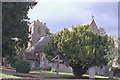
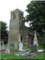
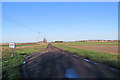
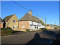
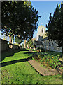
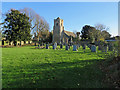
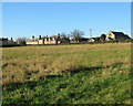
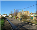
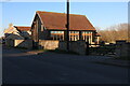
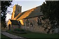
24 photos from this area
Area Information
Key information about the CB6 2DJ including its size, population, and administrative classification.
- Area Type
- Postcode
- Area Size
- 80.7 hectares
- Population
- 1561
- Population Density
- 29 people/km²
House Prices in CB6 2DJ
58
Properties
£315,998
Average Sold Price
£75,500
Lowest Price
£1,130,000
Highest Price
Showing 58 properties
| Address | Type | Beds | Baths | Last Sale Price | Last Sale Date | |
|---|---|---|---|---|---|---|
| 16 Main Street, Coveney, CB6 2DJ | Detached | 4 | 3 | £495,000 | May 2025 | |
| The Old Police House, 8 Main Street, Coveney, CB6 2DJ | house | 3 | 1 | £425,000 | Mar 2024 | |
| Evenos, 6 Main Street, Coveney, CB6 2DJ | Bungalow | - | - | £463,530 | Jul 2022 | |
| Mansion Farm, 41 Main Street, Coveney, CB6 2DJ | Land | 3 | 2 | £1,130,000 | May 2021 | |
| 39A Main Street, Coveney, CB6 2DJ | Bungalow | - | - | £382,000 | Jan 2021 | |
| 18 Main Street, Coveney, CB6 2DJ | house | - | - | £135,000 | Dec 2020 | |
| 11A Main Street, Coveney, CB6 2DJ | Bungalow | 2 | - | £290,000 | Sep 2020 | |
| Hill House, 9 Main Street, Coveney, CB6 2DJ | Detached | 6 | 4 | £495,000 | May 2017 | |
| The Gables, 4 Main Street, Coveney, CB6 2DJ | Bungalow | 4 | 1 | £333,000 | Mar 2017 | |
| Old School House, 10 Main Street, Coveney, CB6 2DJ | Semi-detached | 3 | 3 | £295,000 | Sep 2016 |
Page 1 of 6
Energy Efficiency in CB6 2DJ
Amenities
Schools
| Rank | School | Type | Entry gender | Ages |
|---|
Explore more schools in this area
Go to Schools tabDemographics
Household Size
Family (3-5 people)
most common
Accommodation Type
Houses
most common
Tenure
85
majority
Ethnic Group
White
most common
Religion
N/A
most common
Household Composition
N/A
most common
Age
47
median
Adults (30-64 years)
most common
Household Deprivation
N/A
with no deprivation
NS-SEC
37
in Lower managerial occupations
Explore more demographic insights in this area
Go to Demographics tabPlanning
Planning Constraints
- Flood RiskPremium
- Ramsar Wetland SitesPremium
- Area of Outstanding Natural BeautyPremium
- Protected Nature ReservePremium
- Protected WoodlandPremium