Area Overview for CB25 0DT
Photos of CB25 0DT
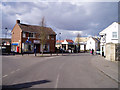
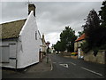
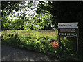
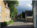
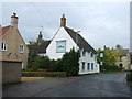
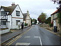
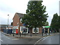
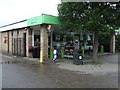
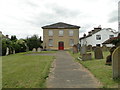
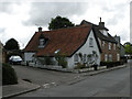
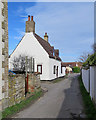
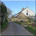
80 photos from this area
Area Information
Key information about the CB25 0DT including its size, population, and administrative classification.
- Area Type
- Postcode
- Area Size
- 4.9 hectares
- Population
- 1860
- Population Density
- 221 people/km²
House Prices in CB25 0DT
17
Properties
£257,000
Average Sold Price
£64,000
Lowest Price
£460,000
Highest Price
Showing 17 properties
| Address | Type | Beds | Baths | Last Sale Price | Last Sale Date | |
|---|---|---|---|---|---|---|
| 6 Murton Close, Burwell, CB25 0DT | Detached | 3 | 1 | £325,000 | May 2024 | |
| 3 Murton Close, Burwell, CB25 0DT | Bungalow | 2 | 1 | £298,000 | Nov 2023 | |
| 12 Murton Close, Burwell, CB25 0DT | Detached | 4 | 1 | £460,000 | Nov 2022 | |
| 16 Murton Close, Burwell, CB25 0DT | Detached | 4 | 2 | £432,000 | Dec 2020 | |
| 15 Murton Close, Burwell, CB25 0DT | Detached | 3 | 1 | £270,000 | Jul 2017 | |
| 17 Murton Close, Burwell, CB25 0DT | house | 4 | - | £287,000 | Dec 2011 | |
| 21 Murton Close, Burwell, CB25 0DT | Bungalow | 3 | 2 | £282,500 | Feb 2008 | |
| 9 Murton Close, Burwell, CB25 0DT | Detached | - | - | £242,500 | Dec 2006 | |
| 10 Murton Close, Burwell, CB25 0DT | Detached | - | - | £249,995 | Sep 2005 | |
| 8 Murton Close, Burwell, CB25 0DT | house | 3 | - | £96,000 | Sep 1999 |
Page 1 of 2
Energy Efficiency in CB25 0DT
Amenities
Schools
| Rank | School | Type | Entry gender | Ages |
|---|
Explore more schools in this area
Go to Schools tabDemographics
Household Size
Two person
most common
Accommodation Type
Houses
most common
Tenure
84
majority
Ethnic Group
White
most common
Religion
N/A
most common
Household Composition
N/A
most common
Age
47
median
Adults (30-64 years)
most common
Household Deprivation
N/A
with no deprivation
NS-SEC
44
in Lower managerial occupations
Explore more demographic insights in this area
Go to Demographics tabPlanning
Planning Constraints
- Flood RiskPremium
- Ramsar Wetland SitesPremium
- Area of Outstanding Natural BeautyPremium
- Protected Nature ReservePremium
- Protected WoodlandPremium