Area Overview for CB25 0EJ
Photos of CB25 0EJ
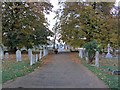
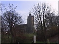

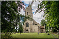
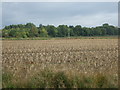
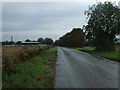
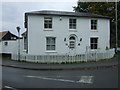
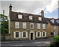
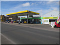
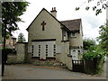
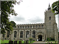
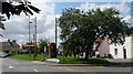
88 photos from this area
Area Information
Key information about the CB25 0EJ including its size, population, and administrative classification.
- Area Type
- Postcode
- Area Size
- 14.5 hectares
- Population
- 1860
- Population Density
- 221 people/km²
House Prices in CB25 0EJ
59
Properties
£466,430
Average Sold Price
£675
Lowest Price
£975,000
Highest Price
Showing 59 properties
| Address | Type | Beds | Baths | Last Sale Price | Last Sale Date | |
|---|---|---|---|---|---|---|
| 89 Low Road, Burwell, CB25 0EJ | Bungalow | 2 | 1 | £245,000 | Jul 2024 | |
| 96 Low Road, Burwell, CB25 0EJ | Detached | 5 | 3 | £900,000 | May 2024 | |
| 8 Low Road, Burwell, CB25 0EJ | Bungalow | 2 | 2 | £625,000 | Mar 2024 | |
| 87 Low Road, Burwell, CB25 0EJ | Semi-detached | 2 | 1 | £275,000 | Feb 2024 | |
| Toad Cottage, 7 Low Road, Burwell, CB25 0EJ | Retail | 3 | 1 | £417,500 | Nov 2022 | |
| Crabtrees, 56 Low Road, Burwell, CB25 0EJ | Detached | 4 | 1 | £795,000 | Sep 2022 | |
| 82 Low Road, Burwell, CB25 0EJ | Detached | 4 | 3 | £825,000 | Sep 2022 | |
| 97 Low Road, Burwell, CB25 0EJ | Land | 2 | 2 | £675 | Jul 2022 | |
| 80 Low Road, Burwell, CB25 0EJ | Detached | 5 | 3 | £835,000 | Jun 2022 | |
| 92 Low Road, Burwell, CB25 0EJ | Semi-detached | 4 | 3 | £975,000 | Apr 2022 |
Page 1 of 6
Energy Efficiency in CB25 0EJ
Amenities
Schools
| Rank | School | Type | Entry gender | Ages |
|---|
Explore more schools in this area
Go to Schools tabDemographics
Household Size
Two person
most common
Accommodation Type
Houses
most common
Tenure
84
majority
Ethnic Group
White
most common
Religion
N/A
most common
Household Composition
N/A
most common
Age
47
median
Adults (30-64 years)
most common
Household Deprivation
N/A
with no deprivation
NS-SEC
44
in Lower managerial occupations
Explore more demographic insights in this area
Go to Demographics tabPlanning
Planning Constraints
- Flood RiskPremium
- Ramsar Wetland SitesPremium
- Area of Outstanding Natural BeautyPremium
- Protected Nature ReservePremium
- Protected WoodlandPremium