Area Overview for CB22 5SS
Photos of CB22 5SS
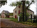
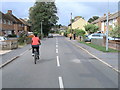
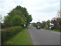
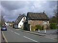
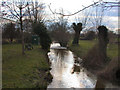
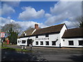
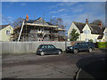
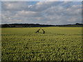
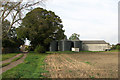
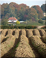
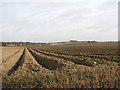
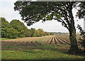
90 photos from this area
Area Information
Key information about the CB22 5SS including its size, population, and administrative classification.
- Area Type
- Postcode
- Area Size
- 7975 m²
- Population
- 1676
- Population Density
- 243 people/km²
House Prices in CB22 5SS
12
Properties
£306,364
Average Sold Price
£110,000
Lowest Price
£475,000
Highest Price
Showing 12 properties
| Address | Type | Beds | Baths | Last Sale Price | Last Sale Date | |
|---|---|---|---|---|---|---|
| 9 Anvil Close, Stapleford, CB22 5SS | Bungalow | - | - | £420,000 | Feb 2022 | |
| 11 Anvil Close, Stapleford, CB22 5SS | Bungalow | - | - | £375,000 | Sep 2017 | |
| 12 Anvil Close, Stapleford, CB22 5SS | Semi-detached | 3 | - | £440,000 | Jun 2017 | |
| 5 Anvil Close, Stapleford, CB22 5SS | Semi-detached | 3 | - | £435,000 | Jun 2016 | |
| 1 Anvil Close, Stapleford, CB22 5SS | Semi-detached | 3 | 2 | £420,000 | Jan 2016 | |
| 4 Anvil Close, Stapleford, CB22 5SS | Semi-detached | 3 | - | £475,000 | Nov 2015 | |
| 10 Anvil Close, Stapleford, CB22 5SS | Detached | 2 | 1 | £215,000 | Jul 2004 | |
| 8 Anvil Close, Stapleford, CB22 5SS | Terraced | - | - | £250,000 | Oct 2003 | |
| 3 Anvil Close, Stapleford, CB22 5SS | Detached | - | - | £115,000 | Mar 1997 | |
| 2 Anvil Close, Stapleford, CB22 5SS | Chalet | 3 | 1 | £115,000 | Feb 1997 |
Page 1 of 2
Energy Efficiency in CB22 5SS
Amenities
Schools
| Rank | School | Type | Entry gender | Ages |
|---|
Explore more schools in this area
Go to Schools tabDemographics
Household Size
Two person
most common
Accommodation Type
Houses
most common
Tenure
83
majority
Ethnic Group
White
most common
Religion
N/A
most common
Household Composition
N/A
most common
Age
47
median
Adults (30-64 years)
most common
Household Deprivation
N/A
with no deprivation
NS-SEC
57
in Lower managerial occupations
Explore more demographic insights in this area
Go to Demographics tabPlanning
Planning Constraints
- Flood RiskPremium
- Ramsar Wetland SitesPremium
- Area of Outstanding Natural BeautyPremium
- Protected Nature ReservePremium
- Protected WoodlandPremium