Area Overview for CB22 4NG
Photos of CB22 4NG
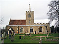
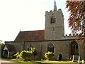
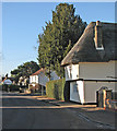
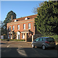
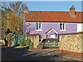
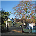
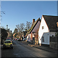
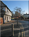
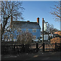
100 photos from this area
Area Information
Key information about the CB22 4NG including its size, population, and administrative classification.
- Area Type
- Postcode
- Area Size
- 4.0 hectares
- Population
- 1237
- Population Density
- 396 people/km²
House Prices in CB22 4NG
46
Properties
£156,319
Average Sold Price
£34,500
Lowest Price
£332,000
Highest Price
Showing 46 properties
| Address | Type | Beds | Baths | Last Sale Price | Last Sale Date | |
|---|---|---|---|---|---|---|
| 24 The Lawn, Whittlesford, CB22 4NG | Bungalow | - | - | £185,000 | Oct 2017 | |
| 9 The Lawn, Whittlesford, CB22 4NG | Terraced | 3 | 1 | £332,000 | Jun 2017 | |
| 27 The Lawn, Whittlesford, CB22 4NG | Bungalow | - | - | £135,000 | Jul 2015 | |
| 12 The Lawn, Whittlesford, CB22 4NG | Bungalow | 1 | - | £82,875 | Aug 2011 | |
| 16 The Lawn, Whittlesford, CB22 4NG | house | - | - | £290,000 | May 2010 | |
| 10 The Lawn, Whittlesford, CB22 4NG | house | - | - | £181,000 | Jul 2009 | |
| 23 The Lawn, Whittlesford, CB22 4NG | Bungalow | 2 | 1 | £117,750 | Oct 2008 | |
| 30 The Lawn, Whittlesford, CB22 4NG | Bungalow | - | - | £48,750 | Jan 2000 | |
| 3 The Lawn, Whittlesford, CB22 4NG | Bungalow | - | - | £34,500 | Jul 1995 | |
| 1 The Lawn, Whittlesford, CB22 4NG | Bungalow | 3 | - | - | - |
Page 1 of 5
Energy Efficiency in CB22 4NG
Amenities
Schools
| Rank | School | Type | Entry gender | Ages |
|---|
Explore more schools in this area
Go to Schools tabDemographics
Household Size
Two person
most common
Accommodation Type
Houses
most common
Tenure
73
majority
Ethnic Group
White
most common
Religion
N/A
most common
Household Composition
N/A
most common
Age
47
median
Adults (30-64 years)
most common
Household Deprivation
N/A
with no deprivation
NS-SEC
54
in Lower managerial occupations
Explore more demographic insights in this area
Go to Demographics tabPlanning
Planning Constraints
- Flood RiskPremium
- Ramsar Wetland SitesPremium
- Area of Outstanding Natural BeautyPremium
- Protected Nature ReservePremium
- Protected WoodlandPremium