Area Overview for CB22 3DG
Photos of CB22 3DG
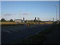
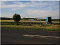
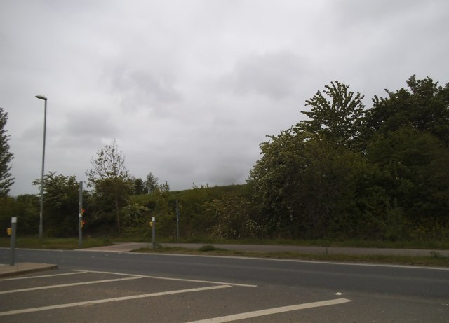
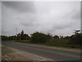
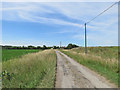
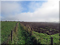

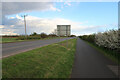
26 photos from this area
Area Information
Key information about the CB22 3DG including its size, population, and administrative classification.
- Area Type
- Postcode
- Area Size
- 32.4 hectares
- Population
- 1482
- Population Density
- 380 people/km²
House Prices in CB22 3DG
27
Properties
£472,761
Average Sold Price
£140,000
Lowest Price
£1,076,660
Highest Price
Showing 27 properties
| Address | Type | Beds | Baths | Last Sale Price | Last Sale Date | |
|---|---|---|---|---|---|---|
| 48 Cambridge Road, Sawston, CB22 3DG | house | - | - | £485,000 | Mar 2023 | |
| 52 Cambridge Road, Sawston, CB22 3DG | Bungalow | - | - | £625,000 | Aug 2022 | |
| 36 Cambridge Road, Sawston, CB22 3DG | Semi-detached | 4 | 2 | £775,000 | Oct 2021 | |
| 16 Cambridge Road, Sawston, CB22 3DG | house | - | - | £1,076,660 | Dec 2020 | |
| 50 Cambridge Road, Sawston, CB22 3DG | Semi-detached | 3 | 2 | £425,000 | Mar 2019 | |
| 38 Cambridge Road, Sawston, CB22 3DG | Detached | 4 | 2 | £580,000 | Nov 2016 | |
| 56 Cambridge Road, Sawston, CB22 3DG | Detached | 5 | - | £437,000 | Oct 2013 | |
| 18 Cambridge Road, Sawston, CB22 3DG | Detached | 6 | - | £530,000 | Aug 2012 | |
| 40 Cambridge Road, Sawston, CB22 3DG | Detached | - | - | £290,000 | Jan 2009 | |
| 44 Cambridge Road, Sawston, CB22 3DG | Semi-detached | - | - | £345,000 | Jun 2007 |
Page 1 of 3
Energy Efficiency in CB22 3DG
Amenities
Schools
| Rank | School | Type | Entry gender | Ages |
|---|
Explore more schools in this area
Go to Schools tabDemographics
Household Size
Two person
most common
Accommodation Type
Houses
most common
Tenure
71
majority
Ethnic Group
White
most common
Religion
N/A
most common
Household Composition
N/A
most common
Age
47
median
Adults (30-64 years)
most common
Household Deprivation
N/A
with no deprivation
NS-SEC
40
in Lower managerial occupations
Explore more demographic insights in this area
Go to Demographics tabPlanning
Planning Constraints
- Flood RiskPremium
- Ramsar Wetland SitesPremium
- Area of Outstanding Natural BeautyPremium
- Protected Nature ReservePremium
- Protected WoodlandPremium