Area Overview for CB21 4HA
Photos of CB21 4HA
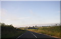
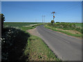
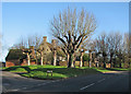
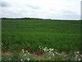
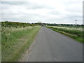
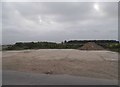
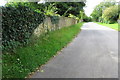
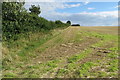
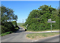
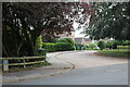
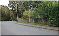
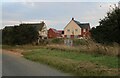
19 photos from this area
Area Information
Key information about the CB21 4HA including its size, population, and administrative classification.
- Area Type
- Postcode
- Area Size
- 40.3 hectares
- Population
- 1433
- Population Density
- 50 people/km²
House Prices in CB21 4HA
14
Properties
£430,665
Average Sold Price
£182,000
Lowest Price
£672,500
Highest Price
Showing 14 properties
| Address | Type | Beds | Baths | Last Sale Price | Last Sale Date | |
|---|---|---|---|---|---|---|
| 20 Linton Road, Balsham, CB21 4HA | Retail | 4 | 3 | £672,500 | Sep 2022 | |
| 18 Linton Road, Balsham, CB21 4HA | house | - | - | £590,000 | Feb 2022 | |
| 24 Linton Road, Balsham, CB21 4HA | house | - | - | £470,000 | Apr 2021 | |
| 3 Linton Road, Balsham, CB21 4HA | Detached | 4 | 1 | £571,816 | Jan 2017 | |
| 7 Linton Road, Balsham, CB21 4HA | house | - | - | £369,000 | Jan 2005 | |
| Westfield House, 17 Linton Road, Balsham, CB21 4HA | Detached | - | - | £182,000 | Jul 1998 | |
| 19 Linton Road, Balsham, CB21 4HA | Detached | - | - | £310,000 | Jan 1998 | |
| 23 Linton Road, Balsham, CB21 4HA | Flat | - | - | £280,000 | Jul 1996 | |
| Beetons, Linton Road, Balsham, CB21 4HA | Detached | - | - | - | - | |
| 22 Linton Road, Balsham, CB21 4HA | Detached | 3 | 1 | - | - |
Page 1 of 2
Energy Efficiency in CB21 4HA
Amenities
Schools
| Rank | School | Type | Entry gender | Ages |
|---|
Explore more schools in this area
Go to Schools tabDemographics
Household Size
Two person
most common
Accommodation Type
Houses
most common
Tenure
70
majority
Ethnic Group
White
most common
Religion
N/A
most common
Household Composition
N/A
most common
Age
47
median
Adults (30-64 years)
most common
Household Deprivation
N/A
with no deprivation
NS-SEC
44
in Lower managerial occupations
Explore more demographic insights in this area
Go to Demographics tabPlanning
Planning Constraints
- Flood RiskPremium
- Ramsar Wetland SitesPremium
- Area of Outstanding Natural BeautyPremium
- Protected Nature ReservePremium
- Protected WoodlandPremium