Area Overview for CB21 4ER
Photos of CB21 4ER

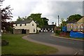
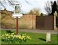
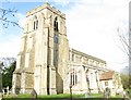
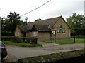
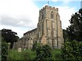
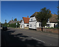
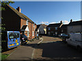
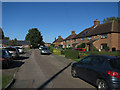
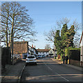
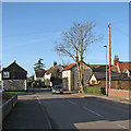
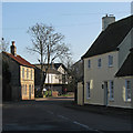
100 photos from this area
Area Information
Key information about the CB21 4ER including its size, population, and administrative classification.
- Area Type
- Postcode
- Area Size
- 5.7 hectares
- Population
- 1433
- Population Density
- 50 people/km²
House Prices in CB21 4ER
51
Properties
£190,750
Average Sold Price
£75,000
Lowest Price
£340,000
Highest Price
Showing 51 properties
| Address | Type | Beds | Baths | Last Sale Price | Last Sale Date | |
|---|---|---|---|---|---|---|
| 27 Mays Avenue, Balsham, CB21 4ER | Semi-detached | 3 | 1 | £335,000 | Sep 2023 | |
| 15 Mays Avenue, Balsham, CB21 4ER | Semi-detached | 3 | 1 | £340,000 | Nov 2022 | |
| 26 Mays Avenue, Balsham, CB21 4ER | Terraced | 2 | 1 | £96,250 | Nov 2022 | |
| 28 Mays Avenue, Balsham, CB21 4ER | house | - | - | £140,000 | Jan 2020 | |
| 22 Mays Avenue, Balsham, CB21 4ER | house | - | - | £115,500 | Apr 2019 | |
| 24 Mays Avenue, Balsham, CB21 4ER | Terraced | 2 | 1 | £125,000 | Feb 2018 | |
| 25 Mays Avenue, Balsham, CB21 4ER | Detached | 3 | 1 | £290,000 | Nov 2015 | |
| 17 Mays Avenue, Balsham, CB21 4ER | house | 3 | - | £200,000 | Nov 2010 | |
| 31 Mays Avenue, Balsham, CB21 4ER | Bungalow | - | - | £75,000 | Mar 2005 | |
| 30 Mays Avenue, Balsham, CB21 4ER | house | 3 | 1 | - | - |
Page 1 of 6
Energy Efficiency in CB21 4ER
Amenities
Schools
| Rank | School | Type | Entry gender | Ages |
|---|
Explore more schools in this area
Go to Schools tabDemographics
Household Size
Two person
most common
Accommodation Type
Houses
most common
Tenure
70
majority
Ethnic Group
White
most common
Religion
N/A
most common
Household Composition
N/A
most common
Age
47
median
Adults (30-64 years)
most common
Household Deprivation
N/A
with no deprivation
NS-SEC
44
in Lower managerial occupations
Explore more demographic insights in this area
Go to Demographics tabPlanning
Planning Constraints
- Flood RiskPremium
- Ramsar Wetland SitesPremium
- Area of Outstanding Natural BeautyPremium
- Protected Nature ReservePremium
- Protected WoodlandPremium