Area Overview for CB11 3ST
Photos of CB11 3ST
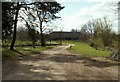
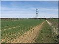
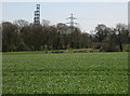
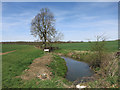
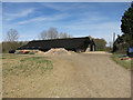
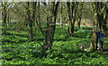
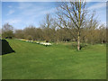
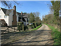
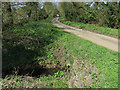
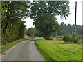
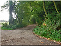
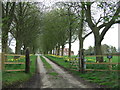
18 photos from this area
Area Information
Key information about the CB11 3ST including its size, population, and administrative classification.
- Area Type
- Postcode
- Area Size
- 1.2 km²
- Population
- 2073
- Population Density
- 93 people/km²
House Prices in CB11 3ST
11
Properties
£872,500
Average Sold Price
£495,000
Lowest Price
£1,250,000
Highest Price
Showing 11 properties
| Address | Type | Beds | Baths | Last Sale Price | Last Sale Date | |
|---|---|---|---|---|---|---|
| Thistley Cottage, Cornells Lane, Widdington, CB11 3ST | house | - | - | £495,000 | Nov 2020 | |
| Amberden House, Cornells Lane, Widdington, CB11 3ST | house | - | - | £1,250,000 | Aug 2019 | |
| Thistley Hall, Cornells Lane, Widdington, CB11 3ST | Detached | 6 | 2 | - | - | |
| Amberden Hall, Cornells Lane, Widdington, CB11 3ST | house | - | - | - | - | |
| Chapel Cottage, Amberden Hall, Cornells Lane, Widdington, CB11 3ST | house | - | - | - | - | |
| Tennis 149M From Thistley Hall 161M From Unnamed Road, Cornells Lane, Widdington, CB11 3ST | Leisure | - | - | - | - | |
| The Chicken House, Amberden Hall, Cornells Lane, Widdington, CB11 3ST | house | - | - | - | - | |
| Annexe At Thistley Hall, Cornells Lane, Widdington, CB11 3ST | Detached | - | - | - | - | |
| Thistley Lodge, Cornells Lane, Widdington, CB11 3ST | Detached | - | - | - | - | |
| Vernons Swimming Pools, Cornells Lane, Widdington, CB11 3ST | warehouse | - | - | - | - |
Page 1 of 2
Energy Efficiency in CB11 3ST
Amenities
Schools
| Rank | School | Type | Entry gender | Ages |
|---|
Explore more schools in this area
Go to Schools tabDemographics
Household Size
Family (3-5 people)
most common
Accommodation Type
Houses
most common
Tenure
79
majority
Ethnic Group
White
most common
Religion
N/A
most common
Household Composition
N/A
most common
Age
47
median
Adults (30-64 years)
most common
Household Deprivation
N/A
with no deprivation
NS-SEC
49
in Lower managerial occupations
Explore more demographic insights in this area
Go to Demographics tabPlanning
Planning Constraints
- Flood RiskPremium
- Ramsar Wetland SitesPremium
- Area of Outstanding Natural BeautyPremium
- Protected Nature ReservePremium
- Protected WoodlandPremium