Area Overview for CB10 2TE
Photos of CB10 2TE
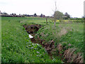
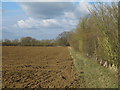
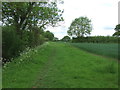
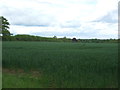


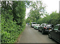
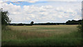
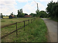
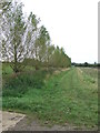
10 photos from this area
Area Information
Key information about the CB10 2TE including its size, population, and administrative classification.
- Area Type
- Postcode
- Area Size
- 42.2 hectares
- Population
- 1939
- Population Density
- 39 people/km²
House Prices in CB10 2TE
27
Properties
£293,885
Average Sold Price
£130,000
Lowest Price
£430,000
Highest Price
Showing 27 properties
| Address | Type | Beds | Baths | Last Sale Price | Last Sale Date | |
|---|---|---|---|---|---|---|
| Old Pump Cottage, 5B Princes Well, Radwinter, CB10 2TE | Semi-detached | 3 | 2 | £392,000 | Sep 2022 | |
| The Old Dairy, Princes Well, Radwinter, CB10 2TE | Semi-detached | 3 | 1 | £335,000 | Jan 2021 | |
| 5 Princes Well, Radwinter, CB10 2TE | Semi-detached | 2 | 1 | £299,999 | Oct 2018 | |
| Fox Cottage, Princes Well, Radwinter, CB10 2TE | Cottage | 3 | - | £430,000 | Apr 2017 | |
| Poplar Hall, Princes Well, Radwinter, CB10 2TE | Semi-detached | 3 | 2 | £375,000 | Oct 2015 | |
| Brookside, Princes Well, Radwinter, CB10 2TE | Semi-detached | - | - | £410,000 | Jan 2015 | |
| 6 Princes Well, Radwinter, CB10 2TE | house | 2 | - | £208,500 | Jul 2013 | |
| Grove Cottage, 2 Princes Well, Radwinter, CB10 2TE | house | 2 | - | £210,000 | May 2013 | |
| 4 Princes Well, Radwinter, CB10 2TE | house | 3 | - | £330,000 | Jul 2011 | |
| Ripple View, 5A Princes Well, Radwinter, CB10 2TE | Semi-detached | - | - | £250,000 | Jun 2006 |
Page 1 of 3
Energy Efficiency in CB10 2TE
Amenities
Schools
| Rank | School | Type | Entry gender | Ages |
|---|
Explore more schools in this area
Go to Schools tabDemographics
Household Size
Two person
most common
Accommodation Type
Houses
most common
Tenure
79
majority
Ethnic Group
White
most common
Religion
N/A
most common
Household Composition
N/A
most common
Age
47
median
Adults (30-64 years)
most common
Household Deprivation
N/A
with no deprivation
NS-SEC
45
in Lower managerial occupations
Explore more demographic insights in this area
Go to Demographics tabPlanning
Planning Constraints
- Flood RiskPremium
- Ramsar Wetland SitesPremium
- Area of Outstanding Natural BeautyPremium
- Protected Nature ReservePremium
- Protected WoodlandPremium