Area Overview for CB10 2PR
Photos of CB10 2PR
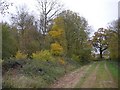
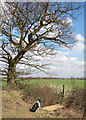
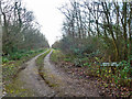
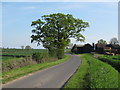
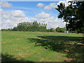
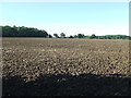
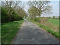
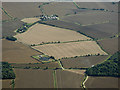
10 photos from this area
Area Information
Key information about the CB10 2PR including its size, population, and administrative classification.
- Area Type
- Postcode
- Area Size
- 2.9 km²
- Population
- 1939
- Population Density
- 39 people/km²
House Prices in CB10 2PR
16
Properties
£962,500
Average Sold Price
£350,000
Lowest Price
£1,300,000
Highest Price
Showing 16 properties
| Address | Type | Beds | Baths | Last Sale Price | Last Sale Date | |
|---|---|---|---|---|---|---|
| Harvey House, Finchingfield Road, Hempstead, CB10 2PR | Detached | 4 | 3 | £1,300,000 | Sep 2021 | |
| Hempstead House, Finchingfield Road, Hempstead, CB10 2PR | Semi-detached | 4 | 3 | £1,200,000 | Feb 2020 | |
| The Moat House, Finchingfield Road, Hempstead, CB10 2PR | Terraced | 4 | 2 | £1,000,000 | Nov 2018 | |
| Fircones, Finchingfield Road, Hempstead, CB10 2PR | Bungalow | 3 | 1 | £350,000 | Aug 2017 | |
| Lakehouse Farm, Finchingfield Road, Hempstead, CB10 2PR | Semi-detached | 2 | 1 | - | - | |
| Grove Barn, Finchingfield Road, Hempstead, CB10 2PR | Semi-detached | 3 | 2 | - | - | |
| 1, Lake House Farm Cottages, Finchingfield Road, Hempstead, CB10 2PR | Semi-detached | 2 | 1 | - | - | |
| Eastcotts Barn, Finchingfield Road, Hempstead, CB10 2PR | Semi-detached | 4 | 3 | - | - | |
| Hunters Barn, Finchingfield Road, Hempstead, CB10 2PR | Semi-detached | 3 | 2 | - | - | |
| The Lake House, Hempstead Hall, Finchingfield Road, Hempstead, CB10 2PR | Semi-detached | 5 | 4 | - | - |
Page 1 of 2
Energy Efficiency in CB10 2PR
Amenities
Schools
| Rank | School | Type | Entry gender | Ages |
|---|
Explore more schools in this area
Go to Schools tabDemographics
Household Size
Two person
most common
Accommodation Type
Houses
most common
Tenure
79
majority
Ethnic Group
White
most common
Religion
N/A
most common
Household Composition
N/A
most common
Age
47
median
Adults (30-64 years)
most common
Household Deprivation
N/A
with no deprivation
NS-SEC
45
in Lower managerial occupations
Explore more demographic insights in this area
Go to Demographics tabPlanning
Planning Constraints
- Flood RiskPremium
- Ramsar Wetland SitesPremium
- Area of Outstanding Natural BeautyPremium
- Protected Nature ReservePremium
- Protected WoodlandPremium